Distance to Yellow House Landing, South Carolina

Calculating Your Route
Just a moment while we process your request...
Location Information
-
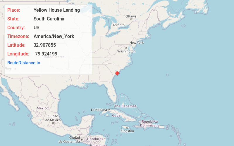
Full AddressYellow House Landing, SC 29492
-
Coordinates32.9078553, -79.9241989
-
LocationYellow House Landing , South Carolina , US
-
TimezoneAmerica/New_York
-
Current Local Time5:18:09 AM America/New_YorkWednesday, June 18, 2025
-
Page Views0
Nearby Places
Found 10 places within 50 miles

Daniel Island
3.4 mi
5.5 km
Daniel Island, Charleston, SC 29492
Get directions

Berkeley Hills
4.7 mi
7.6 km
Berkeley Hills, Hanahan, SC 29410
Get directions
Liberty Hills
4.8 mi
7.7 km
Liberty Hills, North Charleston, SC 29405
Get directions

Hanahan
4.8 mi
7.7 km
Hanahan, SC
Get directions
Waylyn
5.4 mi
8.7 km
Waylyn, North Charleston, SC 29405
Get directions

North Charleston
5.5 mi
8.9 km
North Charleston, SC
Get directions

Wando
5.6 mi
9.0 km
Wando, SC 29492
Get directions
Rosemont
5.8 mi
9.3 km
Rosemont, Charleston, SC 29405
Get directions
Brentwood
6.2 mi
10.0 km
Brentwood, North Charleston, SC 29405
Get directions
Hobcaw Point
6.3 mi
10.1 km
Hobcaw Point, Mt Pleasant, SC 29464
Get directions
Location Links
Local Weather
Weather Information
Coming soon!
Location Map
Static map view of Yellow House Landing, South Carolina
Browse Places by Distance
Places within specific distances from Yellow House Landing
Short Distances
Long Distances
Click any distance to see all places within that range from Yellow House Landing. Distances shown in miles (1 mile ≈ 1.61 kilometers).