Distance to Yethonat, Washington

Calculating Your Route
Just a moment while we process your request...
Location Information
-
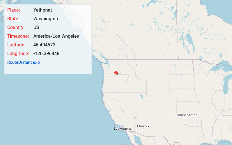
Full AddressYethonat, WA 98948
-
Coordinates46.4045725, -120.3964477
-
LocationYethonat , Washington , US
-
TimezoneAmerica/Los_Angeles
-
Current Local Time4:51:06 AM America/Los_AngelesThursday, May 22, 2025
-
Page Views0
Nearby Places
Found 10 places within 50 miles

Wapato
3.2 mi
5.1 km
Wapato, WA 98951
Get directions

Flint
3.8 mi
6.1 km
Flint, WA 98951
Get directions
Sawyer
4.0 mi
6.4 km
Sawyer, WA 98951
Get directions

Buena
4.3 mi
6.9 km
Buena, WA
Get directions

Toppenish
4.6 mi
7.4 km
Toppenish, WA 98948
Get directions
Donald
5.0 mi
8.0 km
Donald, WA 98951
Get directions

Zillah
6.5 mi
10.5 km
Zillah, WA 98953
Get directions

Harrah
7.0 mi
11.3 km
Harrah, WA
Get directions

Moxee
10.3 mi
16.6 km
Moxee, WA
Get directions

Granger
10.9 mi
17.5 km
Granger, WA 98932
Get directions
Location Links
Local Weather
Weather Information
Coming soon!
Location Map
Static map view of Yethonat, Washington
Browse Places by Distance
Places within specific distances from Yethonat
Short Distances
Long Distances
Click any distance to see all places within that range from Yethonat. Distances shown in miles (1 mile ≈ 1.61 kilometers).