Distance to Yoder, Wyoming

Calculating Your Route
Just a moment while we process your request...
Location Information
-
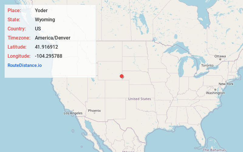
Full AddressYoder, WY 82244
-
Coordinates41.9169123, -104.2957882
-
LocationYoder , Wyoming , US
-
TimezoneAmerica/Denver
-
Current Local Time4:49:58 PM America/DenverFriday, June 20, 2025
-
Page Views0
About Yoder
Yoder is a town in Goshen County, Wyoming, United States. The population was 131 at the 2020 census.
Nearby Places
Found 10 places within 50 miles

Torrington
11.6 mi
18.7 km
Torrington, WY 82240
Get directions

Lyman
13.2 mi
21.2 km
Lyman, NE 69352
Get directions

Lingle
15.4 mi
24.8 km
Lingle, WY 82223
Get directions

Morrill
19.3 mi
31.1 km
Morrill, NE 69358
Get directions

La Grange
20.3 mi
32.7 km
La Grange, WY 82221
Get directions

Fort Laramie
23.4 mi
37.7 km
Fort Laramie, WY
Get directions

Mitchell
25.1 mi
40.4 km
Mitchell, NE 69357
Get directions

Chugwater
29.2 mi
47.0 km
Chugwater, WY 82210
Get directions

Scottsbluff
32.5 mi
52.3 km
Scottsbluff, NE 69361
Get directions

Terrytown
33.0 mi
53.1 km
Terrytown, NE
Get directions
Location Links
Local Weather
Weather Information
Coming soon!
Location Map
Static map view of Yoder, Wyoming
Browse Places by Distance
Places within specific distances from Yoder
Short Distances
Long Distances
Click any distance to see all places within that range from Yoder. Distances shown in miles (1 mile ≈ 1.61 kilometers).