Distance to Yokena, Mississippi

Calculating Your Route
Just a moment while we process your request...
Location Information
-
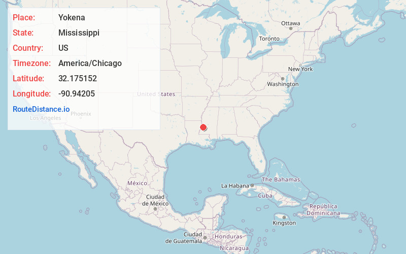
Full AddressYokena, MS 39180
-
Coordinates32.1751517, -90.9420498
-
LocationYokena , Mississippi , US
-
TimezoneAmerica/Chicago
-
Current Local Time4:58:22 PM America/ChicagoSaturday, June 14, 2025
-
Page Views0
About Yokena
Yokena is an unincorporated community in southern Warren County, Mississippi, United States. It is bordered to the south by the Big Black River, to the north by Warrenton, to the east by Campbell Swamp, and to the west by U.S. Highway 61.
Nearby Places
Found 10 places within 50 miles

Kimberly
1.2 mi
1.9 km
Kimberly, MS 39180
Get directions
Le Tourneau
2.7 mi
4.3 km
Le Tourneau, MS 39180
Get directions
Jeff Davis
3.9 mi
6.3 km
Jeff Davis, MS 39180
Get directions
Redbone
4.2 mi
6.8 km
Redbone, MS 39180
Get directions
Warrenton
5.1 mi
8.2 km
Warrenton, Vicksburg, MS 39180
Get directions
Cedars
5.3 mi
8.5 km
Cedars, Vicksburg, MS 39180
Get directions
Hankinson
6.0 mi
9.7 km
Hankinson, MS 39150
Get directions
Bedford
6.2 mi
10.0 km
Bedford, LA 71282
Get directions

Rocky Springs
9.6 mi
15.4 km
Rocky Springs, MS 39086
Get directions
Ingleside
9.9 mi
15.9 km
Ingleside, MS 39150
Get directions
Location Links
Local Weather
Weather Information
Coming soon!
Location Map
Static map view of Yokena, Mississippi
Browse Places by Distance
Places within specific distances from Yokena
Short Distances
Long Distances
Click any distance to see all places within that range from Yokena. Distances shown in miles (1 mile ≈ 1.61 kilometers).