Distance to Youngstown, New York

Calculating Your Route
Just a moment while we process your request...
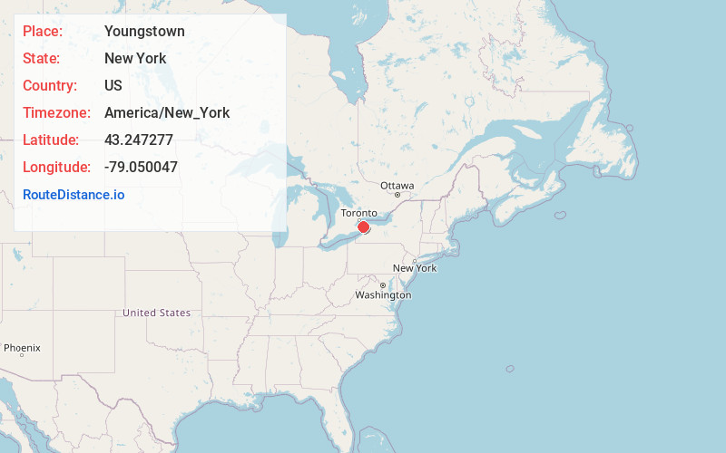
Location Information
-
Full AddressYoungstown, NY 14174
-
Coordinates43.2472768, -79.0500466
-
LocationYoungstown , New York , US
-
TimezoneAmerica/New_York
-
Current Local Time10:28:25 AM America/New_YorkTuesday, June 3, 2025
-
Website
-
Page Views0
About Youngstown
Youngstown is a village in Niagara County, New York, United States. The population was 1,935 at the 2010 census. It is part of the Buffalo-Niagara Falls metropolitan area.
Youngstown is on the western edge of the town of Porter and is at the international border with Canada, at Niagara-on-the-Lake, Ontario.


Nearby Places
Found 10 places within 50 miles

Lewiston
5.2 mi
8.4 km
Lewiston, NY
Get directions

Niagara Falls
10.5 mi
16.9 km
Niagara Falls, NY
Get directions

Cambria
12.6 mi
20.3 km
Cambria, NY
Get directions

Wheatfield
13.7 mi
22.0 km
Wheatfield, NY
Get directions

Grand Island
16.2 mi
26.1 km
Grand Island, NY
Get directions

North Tonawanda
17.2 mi
27.7 km
North Tonawanda, NY 14120
Get directions

Newfane
17.3 mi
27.8 km
Newfane, NY
Get directions

Tonawanda
17.9 mi
28.8 km
Tonawanda, NY 14150
Get directions
Grandyle Village
18.0 mi
29.0 km
Grandyle Village, NY
Get directions

Lockport
18.9 mi
30.4 km
Lockport, NY 14094
Get directions
Location Links
Local Weather
Weather Information
Coming soon!
Location Map
Static map view of Youngstown, New York
Browse Places by Distance
Places within specific distances from Youngstown
Short Distances
Long Distances
Click any distance to see all places within that range from Youngstown. Distances shown in miles (1 mile ≈ 1.61 kilometers).