Distance to Yucatan, Missouri

Calculating Your Route
Just a moment while we process your request...
Location Information
-
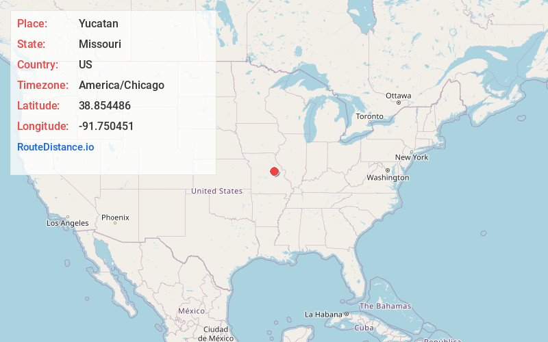
Full AddressYucatan, MO 63388
-
Coordinates38.8544855, -91.7504508
-
LocationYucatan , Missouri , US
-
TimezoneAmerica/Chicago
-
Current Local Time2:50:47 PM America/ChicagoWednesday, June 18, 2025
-
Page Views0
About Yucatan
Yucatan is an unincorporated community in eastern Callaway County, Missouri, United States. The community is on Missouri Route D about four miles south of I-70. Lake Lochaweeno is about two miles to the southwest.
A post office called Yucatan was established in 1892, and remained in operation until 1908.
Nearby Places
Found 10 places within 50 miles

Toledo
3.8 mi
6.1 km
Toledo, MO 65251
Get directions

Leisure Lake
4.9 mi
7.9 km
Leisure Lake, Calwood Township, MO 65251
Get directions

Williamsburg
5.2 mi
8.4 km
Williamsburg, MO
Get directions

Portland
10.1 mi
16.3 km
Portland, MO 65067
Get directions

Fulton
10.6 mi
17.1 km
Fulton, MO 65251
Get directions
Steedman
11.0 mi
17.7 km
Steedman, MO 65077
Get directions

Kingdom City
12.2 mi
19.6 km
Kingdom City, MO
Get directions
Bluffton
12.2 mi
19.6 km
Bluffton, MO 65069
Get directions

Danville
12.2 mi
19.6 km
Danville, MO 63361
Get directions

Chamois
12.4 mi
20.0 km
Chamois, MO 65024
Get directions
Location Links
Local Weather
Weather Information
Coming soon!
Location Map
Static map view of Yucatan, Missouri
Browse Places by Distance
Places within specific distances from Yucatan
Short Distances
Long Distances
Click any distance to see all places within that range from Yucatan. Distances shown in miles (1 mile ≈ 1.61 kilometers).