Distance to Bluffton, Missouri

Calculating Your Route
Just a moment while we process your request...
Location Information
-
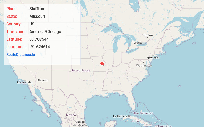
Full AddressBluffton, MO 65069
-
Coordinates38.7075437, -91.6246142
-
LocationBluffton , Missouri , US
-
TimezoneAmerica/Chicago
-
Current Local Time11:07:56 PM America/ChicagoFriday, June 13, 2025
-
Page Views0
About Bluffton
Bluffton is an unincorporated community in western Montgomery County, Missouri, United States. It is located on Route 94, approximately ten miles west of Hermann, near the Missouri River.
Bluffton was platted in 1866, and named for river bluffs near the original town site.
Nearby Places
Found 10 places within 50 miles

Morrison
2.5 mi
4.0 km
Morrison, MO 65061
Get directions
Gasconade
4.4 mi
7.1 km
Gasconade, MO
Get directions
Rhineland
5.8 mi
9.3 km
Rhineland, MO 65069
Get directions

Chamois
8.1 mi
13.0 km
Chamois, MO 65024
Get directions
McKittrick
9.9 mi
15.9 km
McKittrick, MO 65041
Get directions

Hermann
10.1 mi
16.3 km
Hermann, MO 65041
Get directions
Big Spring
10.3 mi
16.6 km
Big Spring, MO 65041
Get directions

Mokane
13.7 mi
22.0 km
Mokane, MO 65059
Get directions

Danville
14.8 mi
23.8 km
Danville, MO 63361
Get directions
Berger
15.6 mi
25.1 km
Berger, MO 63014
Get directions
Location Links
Local Weather
Weather Information
Coming soon!
Location Map
Static map view of Bluffton, Missouri
Browse Places by Distance
Places within specific distances from Bluffton
Short Distances
Long Distances
Click any distance to see all places within that range from Bluffton. Distances shown in miles (1 mile ≈ 1.61 kilometers).