Distance to Zachariah, Kentucky

Calculating Your Route
Just a moment while we process your request...
Location Information
-
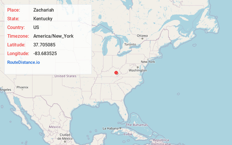
Full AddressZachariah, KY 41301
-
Coordinates37.7050849, -83.6835246
-
LocationZachariah , Kentucky , US
-
TimezoneAmerica/New_York
-
Current Local Time6:32:16 AM America/New_YorkSaturday, May 24, 2025
-
Page Views0
About Zachariah
Zachariah is an unincorporated community in Wolfe County, Kentucky, United States. Its post office is closed.
Nearby Places
Found 10 places within 50 miles

Rogers
3.8 mi
6.1 km
Rogers, KY 41360
Get directions

Grannie
5.5 mi
8.9 km
Grannie, KY 41301
Get directions
Patsey
6.3 mi
10.1 km
Patsey, KY 40472
Get directions

Campton
7.7 mi
12.4 km
Campton, KY 41301
Get directions

Beattyville
9.3 mi
15.0 km
Beattyville, KY 41311
Get directions
Pinnacle
9.3 mi
15.0 km
Pinnacle, KY 41311
Get directions
Bowen
10.6 mi
17.1 km
Bowen, KY 40380
Get directions
White Ash
10.7 mi
17.2 km
White Ash, KY 41311
Get directions
Shade
10.8 mi
17.4 km
Shade, KY 40336
Get directions
Hurst
10.8 mi
17.4 km
Hurst, KY 41339
Get directions
Location Links
Local Weather
Weather Information
Coming soon!
Location Map
Static map view of Zachariah, Kentucky
Browse Places by Distance
Places within specific distances from Zachariah
Short Distances
Long Distances
Click any distance to see all places within that range from Zachariah. Distances shown in miles (1 mile ≈ 1.61 kilometers).