Distance to Zalia, West Virginia
Location Information
-
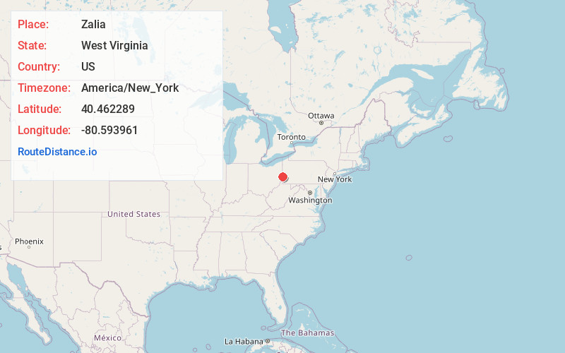
Full AddressZalia, WV 26047
-
Coordinates40.4622891, -80.5939611
-
LocationZalia , West Virginia , US
-
TimezoneAmerica/New_York
-
Current Local Time10:58:28 PM America/New_YorkWednesday, May 14, 2025
-
Page Views0
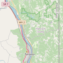
About Zalia
Zalia is an unincorporated community in Hancock County, West Virginia, United States. It was also known as Brickyard Bend.
Nearby Places
Found 10 places within 50 miles

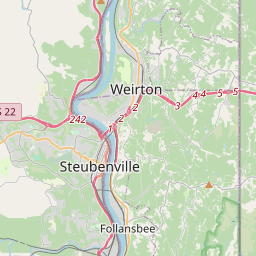
Toronto
0.4 mi
0.6 km
Toronto, OH 43964
Get directions

Sun Valley
1.8 mi
2.9 km
Sun Valley, WV 26062
Get directions

New Cumberland
2.5 mi
4.0 km
New Cumberland, WV 26047
Get directions

Weirton
3.0 mi
4.8 km
Weirton, WV 26062
Get directions
Empire
3.5 mi
5.6 km
Empire, OH
Get directions
Hancock County
3.8 mi
6.1 km
Hancock County, WV
Get directions

Stratton
4.4 mi
7.1 km
Stratton, OH
Get directions
Island Creek
4.5 mi
7.2 km
Island Creek, OH 43964
Get directions


Leaflet © OpenStreetMap contributors
Location Links
Local Weather
Weather Information
Coming soon!
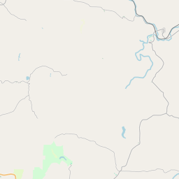
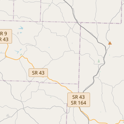
Location Map
Static map view of Zalia, West Virginia
Browse Places by Distance
Places within specific distances from Zalia
Short Distances
Long Distances
Click any distance to see all places within that range from Zalia. Distances shown in miles (1 mile ≈ 1.61 kilometers).