Distance to Empire, Ohio

Calculating Your Route
Just a moment while we process your request...
Location Information
-
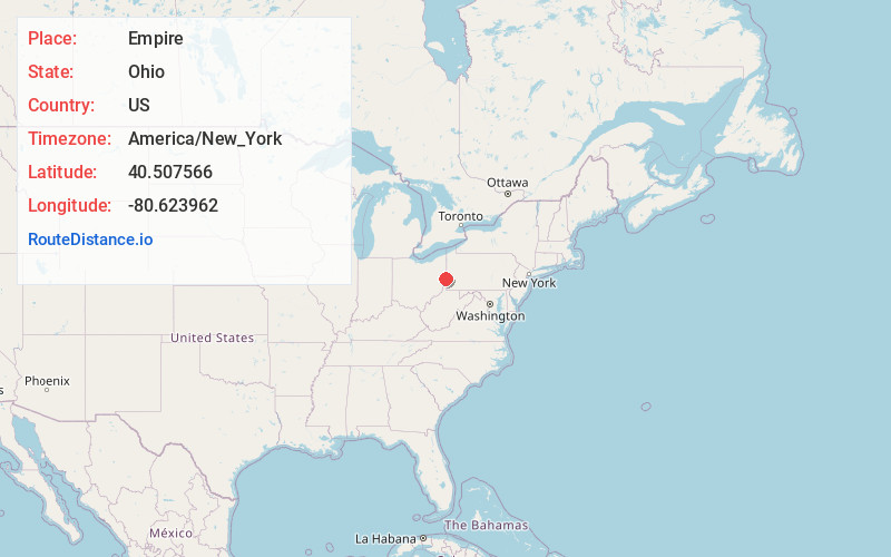
Full AddressEmpire, OH
-
Coordinates40.5075659, -80.6239621
-
LocationEmpire , Ohio , US
-
TimezoneAmerica/New_York
-
Current Local Time6:09:35 PM America/New_YorkWednesday, June 18, 2025
-
Page Views0
About Empire
Empire is a village in Jefferson County, Ohio, United States, along the Ohio River. The population was 232 at the 2020 census. It is part of the Weirton–Steubenville metropolitan area.
Nearby Places
Found 10 places within 50 miles

Stratton
1.0 mi
1.6 km
Stratton, OH
Get directions

New Cumberland
1.2 mi
1.9 km
New Cumberland, WV 26047
Get directions

Toronto
3.2 mi
5.1 km
Toronto, OH 43964
Get directions

Weirton
6.4 mi
10.3 km
Weirton, WV 26062
Get directions

Wellsville
6.7 mi
10.8 km
Wellsville, OH 43968
Get directions

Irondale
7.0 mi
11.3 km
Irondale, OH
Get directions

Newell
7.7 mi
12.4 km
Newell, WV 26050
Get directions

Chester
8.0 mi
12.9 km
Chester, WV 26034
Get directions

East Liverpool
8.1 mi
13.0 km
East Liverpool, OH 43920
Get directions

Paris
9.3 mi
15.0 km
Paris, PA 15021
Get directions
Location Links
Local Weather
Weather Information
Coming soon!
Location Map
Static map view of Empire, Ohio
Browse Places by Distance
Places within specific distances from Empire
Short Distances
Long Distances
Click any distance to see all places within that range from Empire. Distances shown in miles (1 mile ≈ 1.61 kilometers).