Distance to Irondale, Ohio

Calculating Your Route
Just a moment while we process your request...
Location Information
-
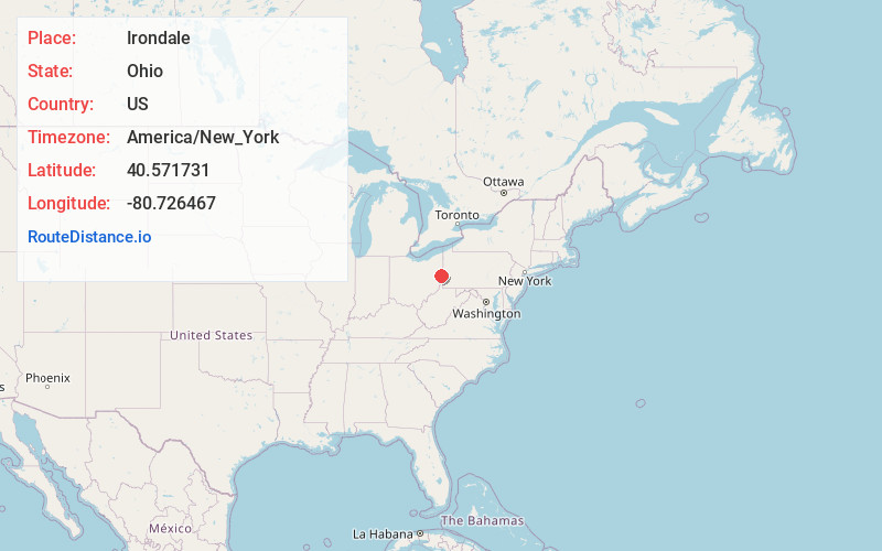
Full AddressIrondale, OH
-
Coordinates40.5717306, -80.7264665
-
LocationIrondale , Ohio , US
-
TimezoneAmerica/New_York
-
Current Local Time2:34:14 PM America/New_YorkThursday, June 12, 2025
-
Page Views0
About Irondale
Irondale is a village in Jefferson County, Ohio, United States. The population was 326 at the 2020 census. It is part of the Weirton–Steubenville metropolitan area.
Nearby Places
Found 10 places within 50 miles

Wellsville
4.6 mi
7.4 km
Wellsville, OH 43968
Get directions

Salineville
6.8 mi
10.9 km
Salineville, OH 43945
Get directions

Newell
7.2 mi
11.6 km
Newell, WV 26050
Get directions

New Cumberland
8.1 mi
13.0 km
New Cumberland, WV 26047
Get directions

East Liverpool
8.5 mi
13.7 km
East Liverpool, OH 43920
Get directions

La Croft
8.5 mi
13.7 km
La Croft, OH 43920
Get directions
Glenmoor
8.5 mi
13.7 km
Glenmoor, OH 43920
Get directions

Bergholz
9.0 mi
14.5 km
Bergholz, OH 43908
Get directions

Chester
9.0 mi
14.5 km
Chester, WV 26034
Get directions
Richmond
9.8 mi
15.8 km
Richmond, OH 43944
Get directions
Location Links
Local Weather
Weather Information
Coming soon!
Location Map
Static map view of Irondale, Ohio
Browse Places by Distance
Places within specific distances from Irondale
Short Distances
Long Distances
Click any distance to see all places within that range from Irondale. Distances shown in miles (1 mile ≈ 1.61 kilometers).