Distance to Glenmoor, Ohio

Calculating Your Route
Just a moment while we process your request...
Location Information
-
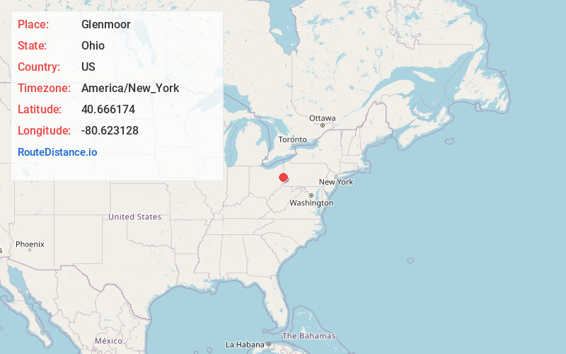
Full AddressGlenmoor, OH 43920
-
Coordinates40.6661744, -80.6231279
-
LocationGlenmoor , Ohio , US
-
TimezoneAmerica/New_York
-
Current Local Time4:10:50 PM America/New_YorkTuesday, June 10, 2025
-
Page Views0
About Glenmoor
Glenmoor is an unincorporated community and census-designated place in St. Clair Township, Columbiana County, Ohio, United States. The population was 1,829 at the 2020 census.
Nearby Places
Found 10 places within 50 miles

Calcutta
2.5 mi
4.0 km
Calcutta, OH 43920
Get directions

East Liverpool
4.1 mi
6.6 km
East Liverpool, OH 43920
Get directions

Wellsville
4.6 mi
7.4 km
Wellsville, OH 43968
Get directions

Chester
4.8 mi
7.7 km
Chester, WV 26034
Get directions

Ohioville
6.8 mi
10.9 km
Ohioville, PA
Get directions

Midland
9.5 mi
15.3 km
Midland, PA
Get directions

Lisbon
10.5 mi
16.9 km
Lisbon, OH 44432
Get directions

South Beaver Township
11.3 mi
18.2 km
South Beaver Township, PA
Get directions

East Palestine
12.4 mi
20.0 km
East Palestine, OH 44413
Get directions

Brighton Township
13.2 mi
21.2 km
Brighton Township, PA
Get directions
Location Links
Local Weather
Weather Information
Coming soon!
Location Map
Static map view of Glenmoor, Ohio
Browse Places by Distance
Places within specific distances from Glenmoor
Short Distances
Long Distances
Click any distance to see all places within that range from Glenmoor. Distances shown in miles (1 mile ≈ 1.61 kilometers).