Distance to Zenda, Kansas

Calculating Your Route
Just a moment while we process your request...
Location Information
-
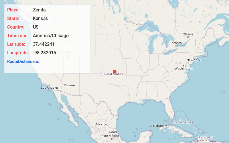
Full AddressZenda, KS
-
Coordinates37.442241, -98.2820154
-
LocationZenda , Kansas , US
-
TimezoneAmerica/Chicago
-
Current Local Time8:59:59 AM America/ChicagoMonday, June 2, 2025
-
Page Views0
About Zenda
Zenda is a city in Kingman County, Kansas, United States. As of the 2020 census, the population of the city was 72.
Nearby Places
Found 10 places within 50 miles

Spivey
6.5 mi
10.5 km
Spivey, KS 67142
Get directions

Attica
14.2 mi
22.9 km
Attica, KS 67009
Get directions

Isabel
14.8 mi
23.8 km
Isabel, KS 67065
Get directions
Sharon
15.4 mi
24.8 km
Sharon, KS 67138
Get directions
Cunningham
16.2 mi
26.1 km
Cunningham, KS 67035
Get directions

Kingman
16.8 mi
27.0 km
Kingman, KS 67068
Get directions

Harper
17.7 mi
28.5 km
Harper, KS 67058
Get directions

Medicine Lodge
19.8 mi
31.9 km
Medicine Lodge, KS 67104
Get directions

Sawyer
22.3 mi
35.9 km
Sawyer, KS 67134
Get directions
Norwich
23.8 mi
38.3 km
Norwich, KS 67118
Get directions
Location Links
Local Weather
Weather Information
Coming soon!
Location Map
Static map view of Zenda, Kansas
Browse Places by Distance
Places within specific distances from Zenda
Short Distances
Long Distances
Click any distance to see all places within that range from Zenda. Distances shown in miles (1 mile ≈ 1.61 kilometers).