Distance to Zenith, Kansas
Location Information
-
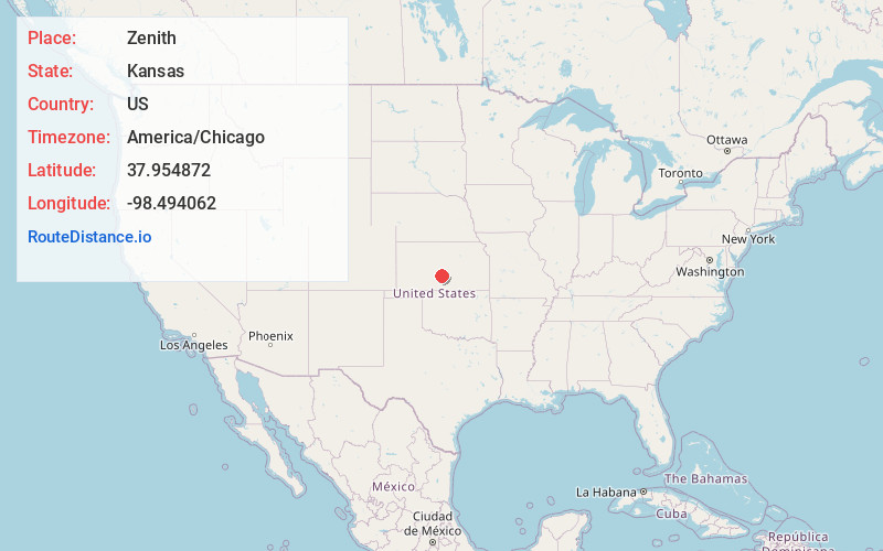
Full AddressZenith, KS 67578
-
Coordinates37.9548717, -98.4940618
-
LocationZenith , Kansas , US
-
TimezoneAmerica/Chicago
-
Current Local Time3:53:30 AM America/ChicagoFriday, May 16, 2025
-
Page Views0
About Zenith
Zenith is an unincorporated community in Stafford County, Kansas, United States. It is located east of Stafford, next to a railroad and U.S. Route 50 highway at NE 140th Ave.
Nearby Places
Found 10 places within 50 miles

Sylvia
4.7 mi
7.6 km
Sylvia, KS 67581
Get directions

Stafford
5.8 mi
9.3 km
Stafford, KS 67578
Get directions

Plevna
10.2 mi
16.4 km
Plevna, KS 67568
Get directions

Turon
10.8 mi
17.4 km
Turon, KS 67583
Get directions
Langdon
11.6 mi
18.7 km
Langdon, KS 67583
Get directions
Hudson
13.8 mi
22.2 km
Hudson, KS 67545
Get directions
Preston
13.9 mi
22.4 km
Preston, KS 67583
Get directions

St John
14.9 mi
24.0 km
St John, KS 67576
Get directions


Leaflet © OpenStreetMap contributors
Location Links
Local Weather
Weather Information
Coming soon!
Location Map
Static map view of Zenith, Kansas
Browse Places by Distance
Places within specific distances from Zenith
Short Distances
Long Distances
Click any distance to see all places within that range from Zenith. Distances shown in miles (1 mile ≈ 1.61 kilometers).