Distance to Zerkel, Minnesota

Calculating Your Route
Just a moment while we process your request...
Location Information
-
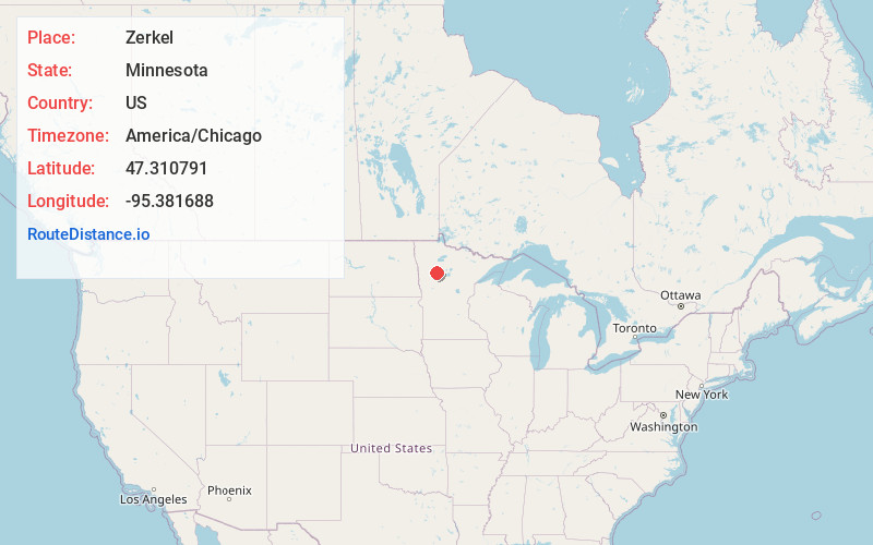
Full AddressZerkel, MN 56621
-
Coordinates47.3107911, -95.3816878
-
LocationZerkel , Minnesota , US
-
TimezoneAmerica/Chicago
-
Current Local Time12:34:07 AM America/ChicagoWednesday, June 4, 2025
-
Page Views0
About Zerkel
Zerkel is an unincorporated community in Rice Township, Clearwater County, Minnesota, United States. In the past it has also been referred to as "Pine Center."
It lies south of the city of Bagley and west of Itasca State Park and Lake Itasca.
Nearby Places
Found 10 places within 50 miles

South End
4.8 mi
7.7 km
South End, MN 56621
Get directions
Roy Lake
8.0 mi
12.9 km
Roy Lake, MN 56557
Get directions
West Roy Lake
10.1 mi
16.3 km
West Roy Lake, MN 56557
Get directions

Naytahwaush
11.9 mi
19.2 km
Naytahwaush, MN 56566
Get directions
Pine Bend
12.6 mi
20.3 km
Pine Bend, MN
Get directions

Ebro
14.5 mi
23.3 km
Ebro, MN 56621
Get directions

Bagley
14.6 mi
23.5 km
Bagley, MN 56621
Get directions
The Ranch
14.8 mi
23.8 km
The Ranch, MN 56557
Get directions
Shevlin
16.2 mi
26.1 km
Shevlin, MN 56676
Get directions

Lengby
18.6 mi
29.9 km
Lengby, MN 56651
Get directions
Location Links
Local Weather
Weather Information
Coming soon!
Location Map
Static map view of Zerkel, Minnesota
Browse Places by Distance
Places within specific distances from Zerkel
Short Distances
Long Distances
Click any distance to see all places within that range from Zerkel. Distances shown in miles (1 mile ≈ 1.61 kilometers).