Distance to Zimmerdale, Kansas

Calculating Your Route
Just a moment while we process your request...
Location Information
-
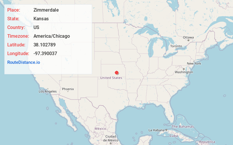
Full AddressZimmerdale, KS 67114
-
Coordinates38.1027885, -97.390037
-
LocationZimmerdale , Kansas , US
-
TimezoneAmerica/Chicago
-
Current Local Time6:53:08 PM America/ChicagoThursday, June 19, 2025
-
Page Views0
About Zimmerdale
Zimmerdale is an unincorporated community in Harvey County, Kansas, United States. The community is located along Old Highway 81 and a railroad line between Hesston and Newton.
Nearby Places
Found 10 places within 50 miles

North Newton
3.2 mi
5.1 km
North Newton, KS
Get directions

Hesston
3.3 mi
5.3 km
Hesston, KS 67062
Get directions

Newton
4.6 mi
7.4 km
Newton, KS
Get directions

McGraw
6.4 mi
10.3 km
McGraw, Newton Township, KS 67114
Get directions

Walton
7.3 mi
11.7 km
Walton, KS
Get directions
Van Arsdale
7.4 mi
11.9 km
Van Arsdale, Sedgwick Township, KS 67114
Get directions
Putnam
9.3 mi
15.0 km
Putnam, Sedgwick Township, KS 67135
Get directions

Halstead
9.3 mi
15.0 km
Halstead, KS 67056
Get directions
Moundridge
9.9 mi
15.9 km
Moundridge, KS 67107
Get directions
McLains
9.9 mi
15.9 km
McLains, KS 67114
Get directions
Location Links
Local Weather
Weather Information
Coming soon!
Location Map
Static map view of Zimmerdale, Kansas
Browse Places by Distance
Places within specific distances from Zimmerdale
Short Distances
Long Distances
Click any distance to see all places within that range from Zimmerdale. Distances shown in miles (1 mile ≈ 1.61 kilometers).