Distance to Zoar, Indiana

Calculating Your Route
Just a moment while we process your request...
Location Information
-
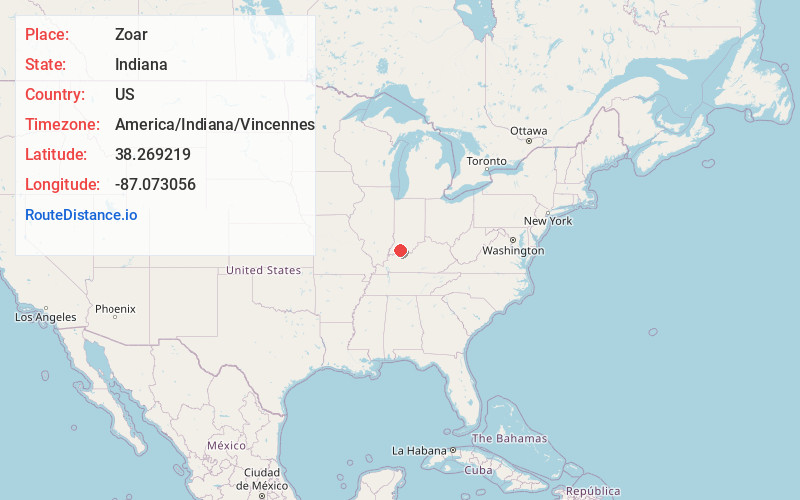
Full AddressZoar, IN 47541
-
Coordinates38.2692186, -87.0730563
-
LocationZoar , Indiana , US
-
TimezoneAmerica/Indiana/Vincennes
-
Current Local Time2:43:30 PM America/Indiana/VincennesThursday, June 19, 2025
-
Page Views0
About Zoar
Zoar is an unincorporated community in Pike and Dubois counties, in the U.S. state of Indiana.
Nearby Places
Found 10 places within 50 miles

Holland
2.6 mi
4.2 km
Holland, IN 47541
Get directions
Stendal
3.9 mi
6.3 km
Stendal, IN 47585
Get directions
Pikeville
4.2 mi
6.8 km
Pikeville, Lockhart Township, IN 47590
Get directions
Hemenway
5.6 mi
9.0 km
Hemenway, Lane Township, IN 47523
Get directions
Velpen
6.2 mi
10.0 km
Velpen, IN
Get directions

Huntingburg
6.7 mi
10.8 km
Huntingburg, IN 47542
Get directions
Johnsburg
7.3 mi
11.7 km
Johnsburg, IN 47523
Get directions

Heilman
7.8 mi
12.6 km
Heilman, IN 47523
Get directions
White Sulphur Springs
8.1 mi
13.0 km
White Sulphur Springs, IN 47590
Get directions

Dale
8.3 mi
13.4 km
Dale, IN 47523
Get directions
Location Links
Local Weather
Weather Information
Coming soon!
Location Map
Static map view of Zoar, Indiana
Browse Places by Distance
Places within specific distances from Zoar
Short Distances
Long Distances
Click any distance to see all places within that range from Zoar. Distances shown in miles (1 mile ≈ 1.61 kilometers).