Distance to Zullinger, Pennsylvania

Calculating Your Route
Just a moment while we process your request...
Location Information
-
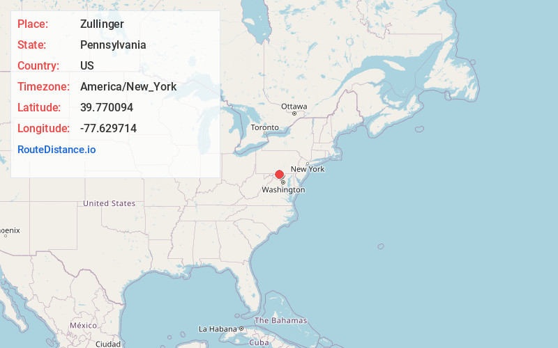
Full AddressZullinger, PA 17268
-
Coordinates39.7700935, -77.6297143
-
LocationZullinger , Pennsylvania , US
-
TimezoneAmerica/New_York
-
Current Local Time6:51:24 AM America/New_YorkSaturday, June 21, 2025
-
Page Views0
About Zullinger
Zullinger is an unincorporated community in Washington Township, Franklin County, Pennsylvania, United States. The community is located along Pennsylvania Route 16, 2.9 miles west-northwest of Waynesboro. Zullinger has a post office, with ZIP code 17272.
Nearby Places
Found 10 places within 50 miles

Waynesboro
2.9 mi
4.7 km
Waynesboro, PA 17268
Get directions

Quincy
3.7 mi
6.0 km
Quincy, PA 17268
Get directions

Clay Hill
4.2 mi
6.8 km
Clay Hill, PA 17202
Get directions

Wayne Heights
4.4 mi
7.1 km
Wayne Heights, PA 17268
Get directions

Biesecker Gap
5.2 mi
8.4 km
Biesecker Gap, PA 17268
Get directions

Leitersburg
5.4 mi
8.7 km
Leitersburg, MD 21742
Get directions
Altenwald
5.4 mi
8.7 km
Altenwald, PA 17268
Get directions
Ringgold
5.4 mi
8.7 km
Ringgold, MD
Get directions

Greencastle
5.4 mi
8.7 km
Greencastle, PA 17225
Get directions

Rouzerville
5.5 mi
8.9 km
Rouzerville, PA
Get directions
Location Links
Local Weather
Weather Information
Coming soon!
Location Map
Static map view of Zullinger, Pennsylvania
Browse Places by Distance
Places within specific distances from Zullinger
Short Distances
Long Distances
Click any distance to see all places within that range from Zullinger. Distances shown in miles (1 mile ≈ 1.61 kilometers).