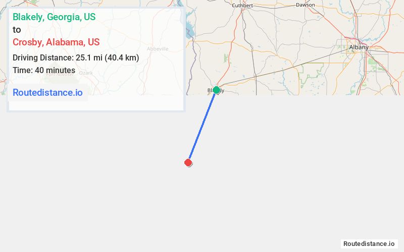
Distance from Blakely, Georgia to Crosby, Alabama
The driving distance from Blakely, Georgia to Crosby, Alabama is 34.2 mi (55.1 km)
The straight-line (air) distance is approximately 15.6 mi (25.1 km)
Estimated travel time by road is 42 minutes
This route includes Toll roads along the way.
We found 2 routes between Blakely and Crosby.
Available Routes
Route Directions
Take E Flowers Dr to Columbia St
Continue on Columbia St. Take AL-95 S to S Co Rd 85/Houston County 85 in Houston County
Continue on S Co Rd 85/Houston County 85. Drive to E Co Rd 8/Houston County 8
Route Directions
Take Cedar Springs Rd to S Co Rd 85/Houston County 85 in Houston County
Continue on S Co Rd 85/Houston County 85. Drive to E Co Rd 8/Houston County 8
Journey Details
Traveling from Blakely, Georgia to Crosby, Alabama covers 30.5 miles (49 km) in a southwest direction. This mixed highways and local roads, moderate route typically takes 37 minutes under normal conditions.
Drivers have 2 route options between these locations (30-34 miles / 49-55 km). The primary route shown here saves 6 minutes compared to alternatives.
The route features scenic views, toll sections. During night weekday travel, expect minimal traffic congestion with average speeds around 46 mph (74 km/h) .
Journey Waypoints
Blakely
Starting Point
Crosby
Destination
Route Map Image