Distance to Cedar Springs, Georgia

Calculating Your Route
Just a moment while we process your request...
Location Information
-
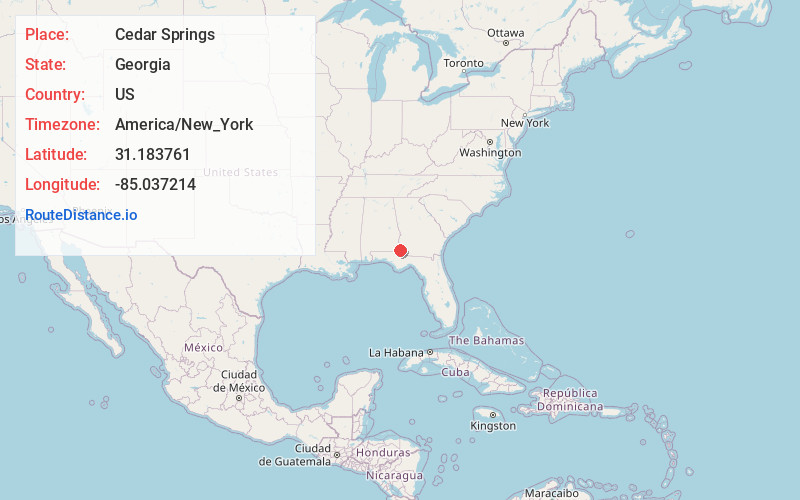
Full AddressCedar Springs, GA
-
Coordinates31.1837614, -85.0372144
-
LocationCedar Springs , Georgia , US
-
TimezoneAmerica/New_York
-
Current Local Time4:01:28 AM America/New_YorkTuesday, June 10, 2025
-
Page Views0
About Cedar Springs
Cedar Springs is an unincorporated community and census-designated place in Early County, Georgia, United States. At the time of the 2020 census, the population was 75. Cedar Springs has a post office with ZIP code 39832. Georgia State Route 273 passes through the community.
Nearby Places
Found 10 places within 50 miles

Gordon
4.6 mi
7.4 km
Gordon, AL 36343
Get directions

Jakin
7.2 mi
11.6 km
Jakin, GA 39861
Get directions

Columbia
8.7 mi
14.0 km
Columbia, AL 36319
Get directions

Ashford
11.8 mi
19.0 km
Ashford, AL 36312
Get directions

Donalsonville
13.6 mi
21.9 km
Donalsonville, GA 39845
Get directions
Avon
14.7 mi
23.7 km
Avon, AL 36312
Get directions

Blakely
14.7 mi
23.7 km
Blakely, GA 39823
Get directions
Webb
14.9 mi
24.0 km
Webb, AL
Get directions

Cowarts
15.8 mi
25.4 km
Cowarts, AL
Get directions
Haleburg
16.5 mi
26.6 km
Haleburg, AL 36319
Get directions
Location Links
Local Weather
Weather Information
Coming soon!
Location Map
Static map view of Cedar Springs, Georgia
Browse Places by Distance
Places within specific distances from Cedar Springs
Short Distances
Long Distances
Click any distance to see all places within that range from Cedar Springs. Distances shown in miles (1 mile ≈ 1.61 kilometers).