Distance to Columbia, Alabama

Calculating Your Route
Just a moment while we process your request...
Location Information
-
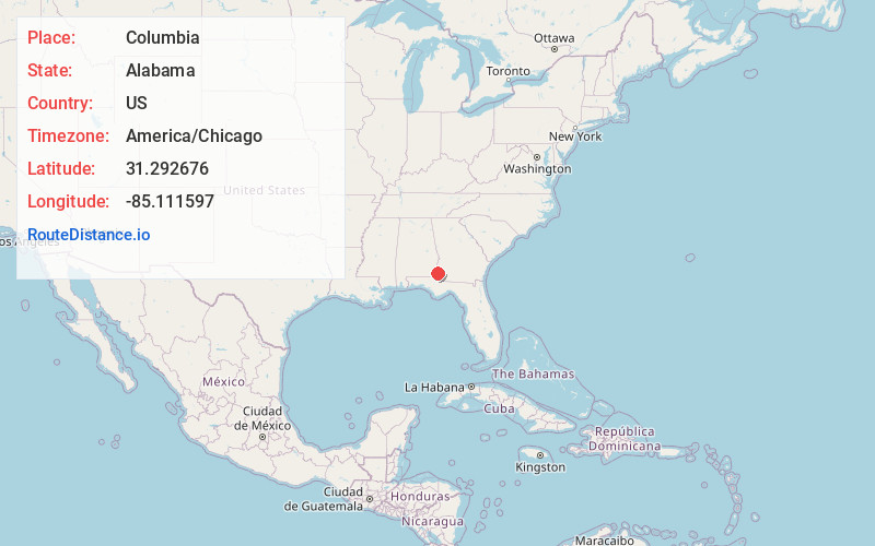
Full AddressColumbia, AL 36319
-
Coordinates31.2926762, -85.1115965
-
LocationColumbia , Alabama , US
-
TimezoneAmerica/Chicago
-
Current Local Time12:45:02 AM America/ChicagoFriday, June 20, 2025
-
Page Views0
About Columbia
Columbia is a rural town in Houston County, Alabama, United States. It is part of the Dothan, Alabama Metropolitan Statistical Area. At the 2010 census the population was 740, down from 804 in 2000.


Nearby Places
Found 10 places within 50 miles

Webb
9.8 mi
15.8 km
Webb, AL
Get directions

Ashford
10.6 mi
17.1 km
Ashford, AL 36312
Get directions

Blakely
12.0 mi
19.3 km
Blakely, GA 39823
Get directions

Cowarts
13.1 mi
21.1 km
Cowarts, AL
Get directions

Kinsey
13.8 mi
22.2 km
Kinsey, AL
Get directions

Headland
14.2 mi
22.9 km
Headland, AL
Get directions

Dothan
17.1 mi
27.5 km
Dothan, AL
Get directions
Cottonwood
20.4 mi
32.8 km
Cottonwood, AL
Get directions

Abbeville
21.0 mi
33.8 km
Abbeville, AL 36310
Get directions

Fort Gaines
22.2 mi
35.7 km
Fort Gaines, GA 39851
Get directions
Location Links
Local Weather
Weather Information
Coming soon!
Location Map
Static map view of Columbia, Alabama
Browse Places by Distance
Places within specific distances from Columbia
Short Distances
Long Distances
Click any distance to see all places within that range from Columbia. Distances shown in miles (1 mile ≈ 1.61 kilometers).