Distance to Abbeville, Alabama

Calculating Your Route
Just a moment while we process your request...
Location Information
-
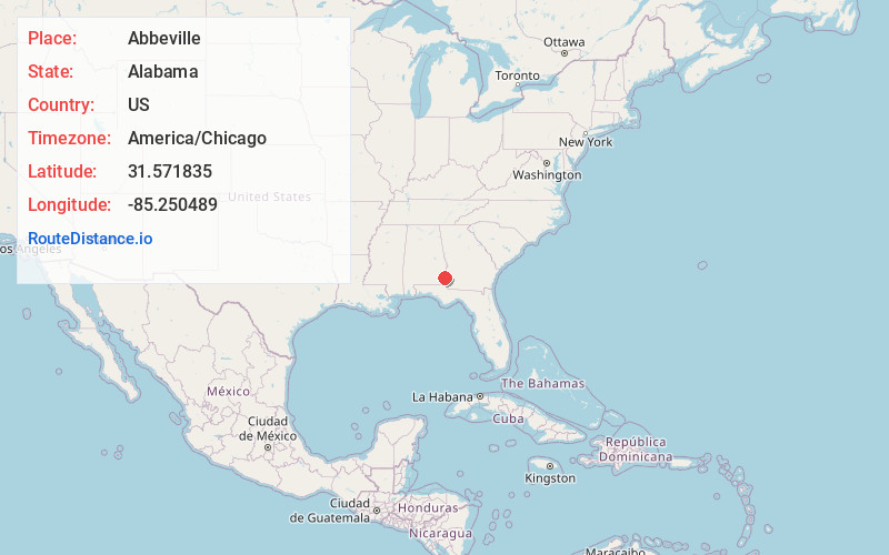
Full AddressAbbeville, AL 36310
-
Coordinates31.5718352, -85.2504893
-
LocationAbbeville , Alabama , US
-
TimezoneAmerica/Chicago
-
Current Local Time11:41:46 PM America/ChicagoTuesday, June 17, 2025
-
Website
-
Page Views0
About Abbeville
Abbeville is a city in and the county seat of Henry County, in the southeast part of Alabama, United States. It is part of the Dothan, Alabama Metropolitan Statistical Area. At the 2020 census, the population was 2,358.


Nearby Places
Found 10 places within 50 miles

Headland
16.2 mi
26.1 km
Headland, AL
Get directions

Kinsey
19.6 mi
31.5 km
Kinsey, AL
Get directions

Eufaula
22.9 mi
36.9 km
Eufaula, AL
Get directions

Blakely
23.0 mi
37.0 km
Blakely, GA 39823
Get directions

Georgetown
23.4 mi
37.7 km
Georgetown, GA 39854
Get directions

Ozark
24.2 mi
38.9 km
Ozark, AL 36360
Get directions

Dothan
25.4 mi
40.9 km
Dothan, AL
Get directions

Ashford
26.9 mi
43.3 km
Ashford, AL 36312
Get directions

Cuthbert
30.4 mi
48.9 km
Cuthbert, GA 39840
Get directions

Taylor
30.9 mi
49.7 km
Taylor, AL
Get directions
Location Links
Local Weather
Weather Information
Coming soon!
Location Map
Static map view of Abbeville, Alabama
Browse Places by Distance
Places within specific distances from Abbeville
Short Distances
Long Distances
Click any distance to see all places within that range from Abbeville. Distances shown in miles (1 mile ≈ 1.61 kilometers).