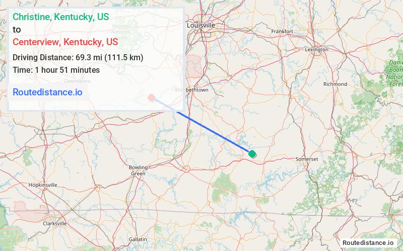
Distance from Christine, Kentucky to Centerview, Kentucky
The driving distance from Christine, Kentucky to Centerview, Kentucky is 113 mi (181.9 km)
The straight-line (air) distance is approximately 43.1 mi (69.3 km)
Estimated travel time by road is 2 hours 6 minutes
We found 3 routes between Christine and Centerview.
Available Routes
Route Directions
Take KY-206 to Jamestown St in Columbia
Take Cumberland Pkwy to KY-90 W/Happy Valley Rd in Glasgow
Get on I-65 N in Cave City
Follow I-65 N to Grayson St in Upton
Take State Hwy 1921/Upton-Melrose Rd, Center Point Rd and KY-84 W to State Hwy 401 in Hudson
Route Directions
Take KY-206 to Jamestown St in Columbia
Follow Cumberland Pkwy, KY-70 W and KY-259 N to N Main St in Leitchfield
Follow State Hwy 737 to KY-259 S in Breckinridge County
Drive to State Hwy 401 in Hudson
Route Directions
Take KY-55 N, KY-210 and Lincoln Pkwy to KY-86 W in Cecilia
Continue on KY-86 W. Drive to State Hwy 401 in Hudson
Journey Details
Traveling from Christine, Kentucky to Centerview, Kentucky covers 95.3 miles (153 km) in a northwest direction. This mixed highways and local roads, substantial route typically takes 1 hour 47 minutes under normal conditions.
Drivers have 3 route options between these locations (95-116 miles / 153-187 km). The primary route shown here saves 20 minutes compared to alternatives.
The route features scenic views. During night weekday travel, expect minimal traffic congestion with average speeds around 50 mph (80 km/h) .
Journey Waypoints
Christine
Starting Point
Centerview
Destination
Route Map Image