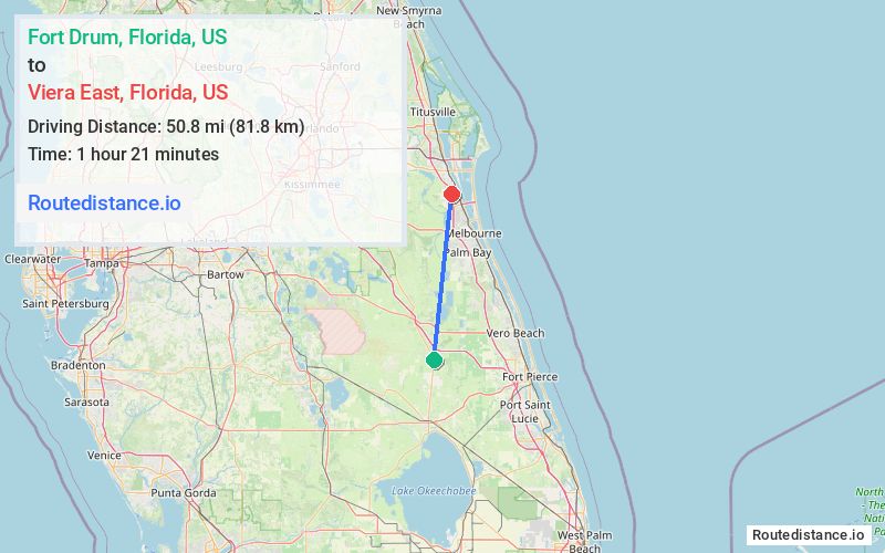
Distance from Fort Drum, Florida to Viera East, Florida
The driving distance from Fort Drum, Florida to Viera East, Florida is 93.5 mi (150.4 km)
The straight-line (air) distance is approximately 31.6 mi (50.8 km)
Estimated travel time by road is 1 hour 28 minutes
We found 2 routes between Fort Drum and Viera East.
Available Routes
Route Directions
Get on I-95 N in St. Lucie County from US-441, NE 224th St and Orange Ave
Follow I-95 N to N Wickham Rd in Brevard County. Take exit 191 from I-95 N
Drive to Murrell Rd in Viera East
Route Directions
Get on I-95 N in Indian River County from US-441 N and State Rd 60 E
Follow I-95 N to N Wickham Rd in Brevard County. Take exit 191 from I-95 N
Drive to Murrell Rd in Viera East
Journey Details
Traveling from Fort Drum, Florida to Viera East, Florida covers 85.1 miles (137 km) in a north direction. This fast highway, substantial route typically takes 1 hour 18 minutes under normal conditions.
Drivers have 2 route options between these locations (85-93 miles / 137-150 km). The primary route shown here saves 10 minutes compared to alternatives.
The route features scenic views. During morning weekday travel, expect morning rush hour with average speeds around 68 mph (109 km/h) .
Journey Waypoints
Fort Drum
Starting Point
Viera East
Destination
Route Map Image