Distance from Haskell, Arkansas to Cairo, Oklahoma
The driving distance from Haskell, Arkansas to Cairo, Oklahoma is 250 mi (402.3 km)
The straight-line (air) distance is approximately 123.4 mi (198.6 km)
Estimated travel time by road is 4 hours 32 minutes
We found 3 routes between Haskell and Cairo.
Available Routes
Route Directions
Take US-70 W to State Hwy 3 W/Veterans Wy in Broken Bow
Follow US-75 N to OK-31 E/N Main St in Coalgate
Continue on OK-31 E. Drive to OK-131 E
Route Directions
Take US-70 W, AR-8 W and OK-63 W to OK-131 W in Coal County
Route Directions
Take US-70 W, US-270 W, AR-88 W, AR-8 W and OK-63 W to OK-131 W in Coal County
Journey Details
Traveling from Haskell, Arkansas to Cairo, Oklahoma covers 237 miles (381 km) in a west direction. This mixed highways and local roads, long-distance route typically takes 4 hours 25 minutes under normal conditions.
Drivers have 3 route options between these locations (237-250 miles / 381-402 km). The primary route shown here saves 7 minutes compared to alternatives.
The route features scenic views. During night weekday travel, expect minimal traffic congestion with average speeds around 55 mph (89 km/h) .
Journey Waypoints
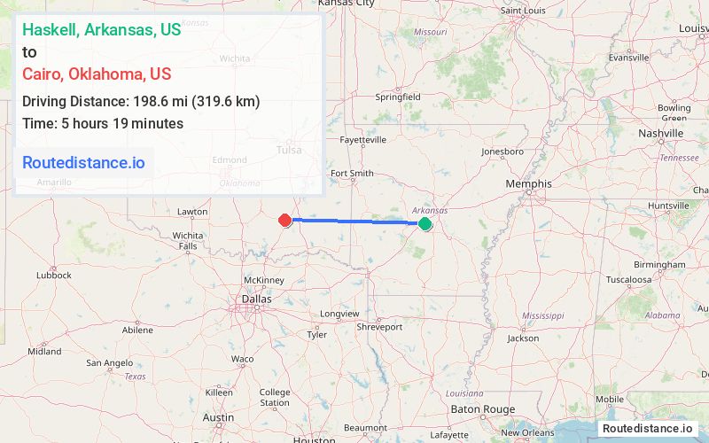
Haskell
Starting Point
Cairo
Destination
Route Map Image