Distance to Cairo, Oklahoma

Calculating Your Route
Just a moment while we process your request...
Location Information
-
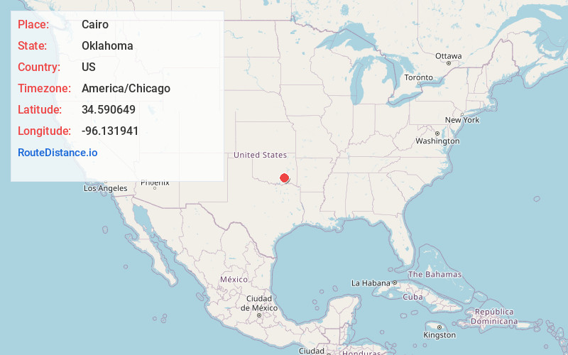
Full AddressCairo, OK 74525
-
Coordinates34.5906487, -96.1319412
-
LocationOklahoma , US
-
TimezoneAmerica/Chicago
-
Current Local Time11:36:58 PM America/ChicagoWednesday, June 18, 2025
-
Page Views0
About Cairo
Cairo is an unincorporated community in Coal County, Oklahoma, United States. It is located seven miles northeast of Coalgate. The community was named after the town of Cairo, Illinois. A post office operated in Cairo from March 28, 1902, to July 15, 1939.
Nearby Places
Found 10 places within 50 miles

Coalgate
6.1 mi
9.8 km
Coalgate, OK 74538
Get directions

Flora
7.2 mi
11.6 km
Flora, OK 74525
Get directions

Wardville
7.2 mi
11.6 km
Wardville, OK
Get directions
Chockie
7.6 mi
12.2 km
Chockie, OK 74525
Get directions
Phillips
7.7 mi
12.4 km
Phillips, OK 74538
Get directions
Burg
7.8 mi
12.6 km
Burg, OK 74525
Get directions
Limestone Gap
9.1 mi
14.6 km
Limestone Gap, OK 74525
Get directions

Stringtown
9.7 mi
15.6 km
Stringtown, OK
Get directions

Lehigh
9.7 mi
15.6 km
Lehigh, OK
Get directions
Parker
10.5 mi
16.9 km
Parker, OK 74531
Get directions
Location Links
Local Weather
Weather Information
Coming soon!
Location Map
Static map view of Cairo, Oklahoma
Browse Places by Distance
Places within specific distances from Cairo
Short Distances
Long Distances
Click any distance to see all places within that range from Cairo. Distances shown in miles (1 mile ≈ 1.61 kilometers).