Distance to Coalgate, Oklahoma

Calculating Your Route
Just a moment while we process your request...
Location Information
-
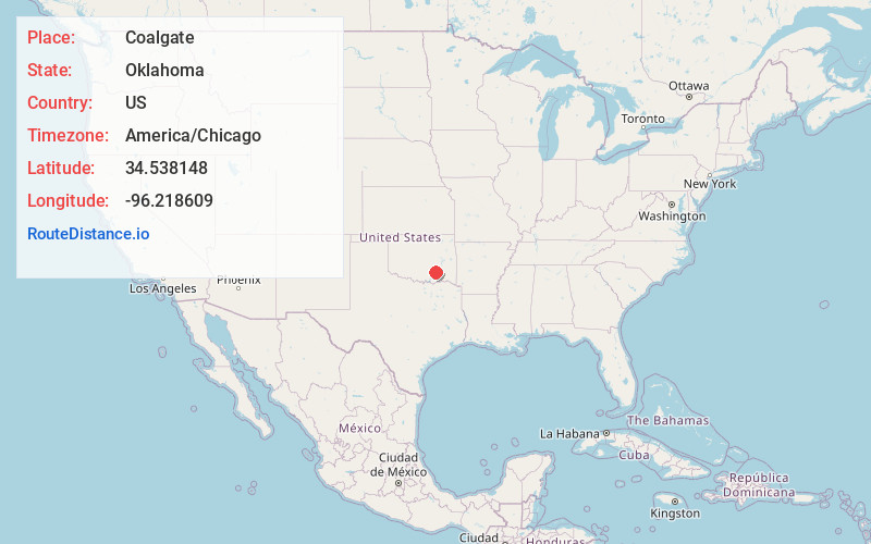
Full AddressCoalgate, OK 74538
-
Coordinates34.5381481, -96.2186092
-
LocationCoalgate , Oklahoma , US
-
TimezoneAmerica/Chicago
-
Current Local Time11:29:49 AM America/ChicagoThursday, May 22, 2025
-
Page Views0
About Coalgate
Coalgate is a city in and the county seat of Coal County, Oklahoma, United States. The population was 1,967 at the 2010 census, a 1.9 percent decrease from the figure of 2,005 recorded in 2000. The town was founded in 1889 in the Choctaw Nation, Indian Territory as a coal mining camp named Liddle.


Nearby Places
Found 10 places within 50 miles

Atoka
11.7 mi
18.8 km
Atoka, OK 74525
Get directions

Ada
30.8 mi
49.6 km
Ada, OK
Get directions

Tishomingo
33.5 mi
53.9 km
Tishomingo, OK 73460
Get directions

McAlester
37.4 mi
60.2 km
McAlester, OK 74501
Get directions

Holdenville
38.8 mi
62.4 km
Holdenville, OK 74848
Get directions

Durant
39.1 mi
62.9 km
Durant, OK
Get directions

Krebs
39.2 mi
63.1 km
Krebs, OK 74501
Get directions

Antlers
40.2 mi
64.7 km
Antlers, OK 74523
Get directions

Sulphur
42.7 mi
68.7 km
Sulphur, OK 73086
Get directions

Calera
43.4 mi
69.8 km
Calera, OK 74730
Get directions
Location Links
Local Weather
Weather Information
Coming soon!
Location Map
Static map view of Coalgate, Oklahoma
Browse Places by Distance
Places within specific distances from Coalgate
Short Distances
Long Distances
Click any distance to see all places within that range from Coalgate. Distances shown in miles (1 mile ≈ 1.61 kilometers).