Distance to Calera, Oklahoma

Calculating Your Route
Just a moment while we process your request...
Location Information
-
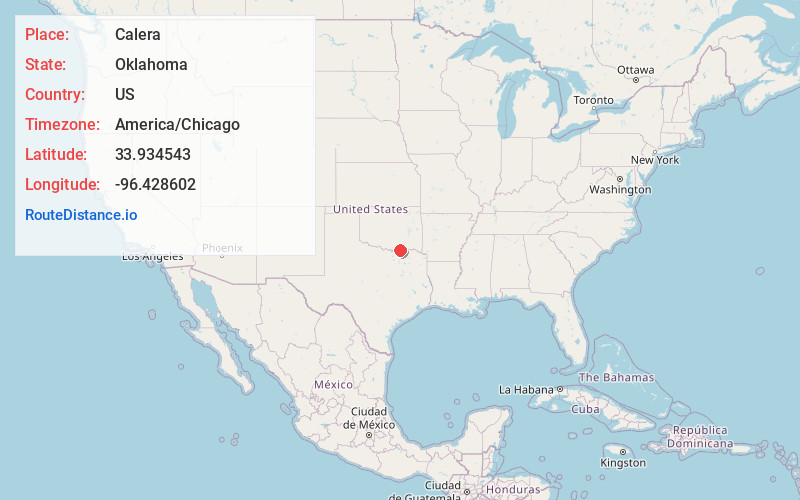
Full AddressCalera, OK 74730
-
Coordinates33.9345433, -96.4286022
-
LocationCalera , Oklahoma , US
-
TimezoneAmerica/Chicago
-
Current Local Time3:29:17 AM America/ChicagoWednesday, June 18, 2025
-
Page Views0
About Calera
Calera is a town in Bryan County, Oklahoma, United States, located five miles south of Durant and 10 miles north of the Oklahoma-Texas state line.


Nearby Places
Found 10 places within 50 miles

Durant
4.4 mi
7.1 km
Durant, OK
Get directions

Denison
13.8 mi
22.2 km
Denison, TX
Get directions

Madill
22.4 mi
36.0 km
Madill, OK 73446
Get directions

Sherman
23.1 mi
37.2 km
Sherman, TX
Get directions

Tishomingo
25.3 mi
40.7 km
Tishomingo, OK 73460
Get directions

Bonham
28.6 mi
46.0 km
Bonham, TX 75418
Get directions

Howe
31.3 mi
50.4 km
Howe, TX
Get directions

Whitesboro
33.5 mi
53.9 km
Whitesboro, TX 76273
Get directions

Atoka
35.6 mi
57.3 km
Atoka, OK 74525
Get directions

Van Alstyne
36.5 mi
58.7 km
Van Alstyne, TX
Get directions
Location Links
Local Weather
Weather Information
Coming soon!
Location Map
Static map view of Calera, Oklahoma
Browse Places by Distance
Places within specific distances from Calera
Short Distances
Long Distances
Click any distance to see all places within that range from Calera. Distances shown in miles (1 mile ≈ 1.61 kilometers).