Distance to Chockie, Oklahoma

Calculating Your Route
Just a moment while we process your request...
Location Information
-
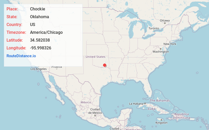
Full AddressChockie, OK 74525
-
Coordinates34.5820384, -95.9983261
-
LocationOklahoma , US
-
TimezoneAmerica/Chicago
-
Current Local Time1:43:45 AM America/ChicagoThursday, June 19, 2025
-
Page Views0
About Chockie
Chockie is an unincorporated community 11 miles northeast of Stringtown, in Atoka County, Oklahoma, United States.
A post office was established at Chickiechockie, Indian Territory on June 17, 1891. Its name was changed to Chockie on February 8, 1904. The post office closed on March 15, 1905.
Nearby Places
Found 10 places within 50 miles

Burg
0.2 mi
0.3 km
Burg, OK 74525
Get directions

Wardville
5.3 mi
8.5 km
Wardville, OK
Get directions

Stringtown
8.6 mi
13.8 km
Stringtown, OK
Get directions

Kiowa
11.1 mi
17.9 km
Kiowa, OK 74553
Get directions

Pittsburg
12.4 mi
20.0 km
Pittsburg, OK
Get directions

Coalgate
12.9 mi
20.8 km
Coalgate, OK 74538
Get directions
Ashland
13.5 mi
21.7 km
Ashland, OK 74570
Get directions
Phillips
13.7 mi
22.0 km
Phillips, OK 74538
Get directions

Lehigh
14.7 mi
23.7 km
Lehigh, OK
Get directions

Atoka
15.4 mi
24.8 km
Atoka, OK 74525
Get directions
Location Links
Local Weather
Weather Information
Coming soon!
Location Map
Static map view of Chockie, Oklahoma
Browse Places by Distance
Places within specific distances from Chockie
Short Distances
Long Distances
Click any distance to see all places within that range from Chockie. Distances shown in miles (1 mile ≈ 1.61 kilometers).