Distance to Lehigh, Oklahoma

Calculating Your Route
Just a moment while we process your request...
Location Information
-
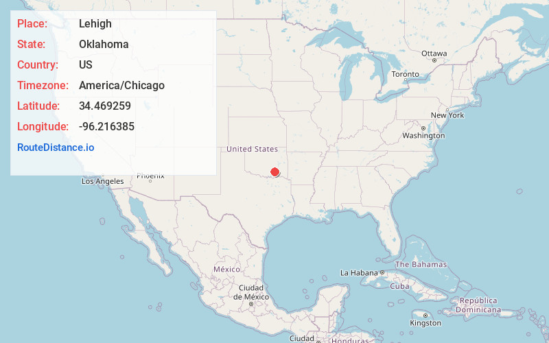
Full AddressLehigh, OK
-
Coordinates34.4692588, -96.2163853
-
LocationLehigh , Oklahoma , US
-
TimezoneAmerica/Chicago
-
Current Local Time1:11:24 AM America/ChicagoFriday, June 20, 2025
-
Page Views0
About Lehigh
Lehigh is a city in Coal County, Oklahoma, United States. Its population was 356 at the 2010 census.


Nearby Places
Found 10 places within 50 miles

Coalgate
4.8 mi
7.7 km
Coalgate, OK 74538
Get directions

Atoka
7.6 mi
12.2 km
Atoka, OK 74525
Get directions

Stringtown
9.3 mi
15.0 km
Stringtown, OK
Get directions

Tushka
10.7 mi
17.2 km
Tushka, OK 74525
Get directions

Wapanucka
13.6 mi
21.9 km
Wapanucka, OK 73461
Get directions
Tupelo
15.1 mi
24.3 km
Tupelo, OK 74572
Get directions

Caney
16.4 mi
26.4 km
Caney, OK
Get directions
Lane
17.6 mi
28.3 km
Lane, OK
Get directions
Coleman
17.9 mi
28.8 km
Coleman, OK
Get directions
Stonewall
21.7 mi
34.9 km
Stonewall, OK 74871
Get directions
Location Links
Local Weather
Weather Information
Coming soon!
Location Map
Static map view of Lehigh, Oklahoma
Browse Places by Distance
Places within specific distances from Lehigh
Short Distances
Long Distances
Click any distance to see all places within that range from Lehigh. Distances shown in miles (1 mile ≈ 1.61 kilometers).