Distance to Caney, Oklahoma

Calculating Your Route
Just a moment while we process your request...
Location Information
-
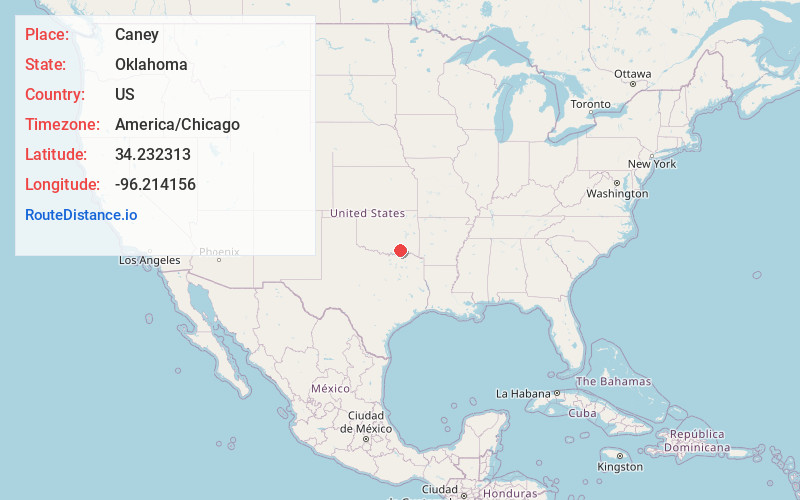
Full AddressCaney, OK
-
Coordinates34.2323125, -96.2141563
-
LocationCaney , Oklahoma , US
-
TimezoneAmerica/Chicago
-
Current Local Time1:14:55 AM America/ChicagoMonday, June 23, 2025
-
Page Views0
About Caney
Caney is a town in Atoka County, Oklahoma, United States. The population was 185 as of the 2020 Census.


Nearby Places
Found 10 places within 50 miles

Tushka
6.6 mi
10.6 km
Tushka, OK 74525
Get directions

Caddo
7.8 mi
12.6 km
Caddo, OK 74729
Get directions

Atoka
11.7 mi
18.8 km
Atoka, OK 74525
Get directions
Bokchito
15.4 mi
24.8 km
Bokchito, OK 74726
Get directions

Wapanucka
15.5 mi
24.9 km
Wapanucka, OK 73461
Get directions

Stringtown
18.6 mi
29.9 km
Stringtown, OK
Get directions

Durant
19.6 mi
31.5 km
Durant, OK
Get directions
Silo
19.9 mi
32.0 km
Silo, OK 74701
Get directions

Coalgate
21.1 mi
34.0 km
Coalgate, OK 74538
Get directions

Calera
24.0 mi
38.6 km
Calera, OK 74730
Get directions
Location Links
Local Weather
Weather Information
Coming soon!
Location Map
Static map view of Caney, Oklahoma
Browse Places by Distance
Places within specific distances from Caney
Short Distances
Long Distances
Click any distance to see all places within that range from Caney. Distances shown in miles (1 mile ≈ 1.61 kilometers).