Distance to Wapanucka, Oklahoma

Calculating Your Route
Just a moment while we process your request...
Location Information
-
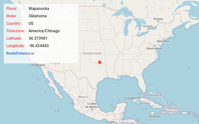
Full AddressWapanucka, OK 73461
-
Coordinates34.373981, -96.4244425
-
LocationWapanucka , Oklahoma , US
-
TimezoneAmerica/Chicago
-
Current Local Time9:49:31 AM America/ChicagoSaturday, May 24, 2025
-
Page Views0
About Wapanucka
Wapanucka is a town in northeastern Johnston County, Oklahoma, United States. The population was 386 as of the 2020 Census. It is about 20 miles northeast of Tishomingo. The town name refers to the Delaware Nation and means "Eastern Land People."


Nearby Places
Found 10 places within 50 miles

Coalgate
16.3 mi
26.2 km
Coalgate, OK 74538
Get directions

Atoka
16.9 mi
27.2 km
Atoka, OK 74525
Get directions

Tishomingo
17.4 mi
28.0 km
Tishomingo, OK 73460
Get directions

Caddo
19.4 mi
31.2 km
Caddo, OK 74729
Get directions

Ravia
20.8 mi
33.5 km
Ravia, OK
Get directions

Silo
23.1 mi
37.2 km
Silo, OK 74701
Get directions
Cumberland
23.6 mi
38.0 km
Cumberland, OK 73446
Get directions

Durant
26.4 mi
42.5 km
Durant, OK
Get directions

Madill
27.9 mi
44.9 km
Madill, OK 73446
Get directions
Oakland
28.3 mi
45.5 km
Oakland, OK 73446
Get directions
Location Links
Local Weather
Weather Information
Coming soon!
Location Map
Static map view of Wapanucka, Oklahoma
Browse Places by Distance
Places within specific distances from Wapanucka
Short Distances
Long Distances
Click any distance to see all places within that range from Wapanucka. Distances shown in miles (1 mile ≈ 1.61 kilometers).