Distance to Cumberland, Oklahoma

Calculating Your Route
Just a moment while we process your request...
Location Information
-
Full AddressCumberland, OK 73446
-
Coordinates34.064444, -96.599444
-
LocationCumberland , Oklahoma , US
-
TimezoneAmerica/Chicago
-
Current Local Time9:26:22 PM America/ChicagoWednesday, June 18, 2025
-
Page Views0
About Cumberland
Cumberland is an unincorporated community and census-designated place in Marshall County, Oklahoma, United States. It is about 12 miles east of Madill, Oklahoma off Oklahoma State Highway 199, and is both north and west of nearby Lake Texoma. The population was 315 as of the 2020 Census.
Nearby Places
Found 10 places within 50 miles

Kingston
8.3 mi
13.4 km
Kingston, OK 73439
Get directions

Madill
10.0 mi
16.1 km
Madill, OK 73446
Get directions

Oakland
11.4 mi
18.3 km
Oakland, OK 73446
Get directions

Durant
12.6 mi
20.3 km
Durant, OK
Get directions

Preston
12.6 mi
20.3 km
Preston, TX 75076
Get directions

Tishomingo
12.7 mi
20.4 km
Tishomingo, OK 73460
Get directions

Calera
13.3 mi
21.4 km
Calera, OK 74730
Get directions

Colbert
15.6 mi
25.1 km
Colbert, OK
Get directions
Mannsville
18.1 mi
29.1 km
Mannsville, OK 73447
Get directions

Sherwood Shores
19.2 mi
30.9 km
Sherwood Shores, TX 76245
Get directions
Location Links
Local Weather
Weather Information
Coming soon!
Location Map
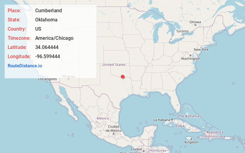
Static map view of Cumberland, Oklahoma
Browse Places by Distance
Places within specific distances from Cumberland
Short Distances
Long Distances
Click any distance to see all places within that range from Cumberland. Distances shown in miles (1 mile ≈ 1.61 kilometers).