Distance to Kingston, Oklahoma

Calculating Your Route
Just a moment while we process your request...
Location Information
-
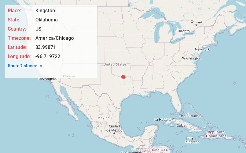
Full AddressKingston, OK 73439
-
Coordinates33.99871, -96.7197216
-
LocationKingston , Oklahoma , US
-
TimezoneAmerica/Chicago
-
Current Local Time4:48:58 AM America/ChicagoWednesday, June 18, 2025
-
Page Views0
About Kingston
Kingston is a town in Marshall County, Oklahoma, United States, in the central southern portion of the state close to the border. The population was 1,431 as of the 2020 Census,


Nearby Places
Found 10 places within 50 miles

Madill
7.0 mi
11.3 km
Madill, OK 73446
Get directions

Preston
9.3 mi
15.0 km
Preston, TX 75076
Get directions

Tishomingo
16.6 mi
26.7 km
Tishomingo, OK 73460
Get directions

Pottsboro
16.8 mi
27.0 km
Pottsboro, TX
Get directions

Calera
17.3 mi
27.8 km
Calera, OK 74730
Get directions

Durant
18.5 mi
29.8 km
Durant, OK
Get directions

Denison
19.8 mi
31.9 km
Denison, TX
Get directions

Marietta
23.1 mi
37.2 km
Marietta, OK 73448
Get directions

Sherman
25.9 mi
41.7 km
Sherman, TX
Get directions

Whitesboro
26.0 mi
41.8 km
Whitesboro, TX 76273
Get directions
Location Links
Local Weather
Weather Information
Coming soon!
Location Map
Static map view of Kingston, Oklahoma
Browse Places by Distance
Places within specific distances from Kingston
Short Distances
Long Distances
Click any distance to see all places within that range from Kingston. Distances shown in miles (1 mile ≈ 1.61 kilometers).