Distance to Preston, Texas

Calculating Your Route
Just a moment while we process your request...
Location Information
-
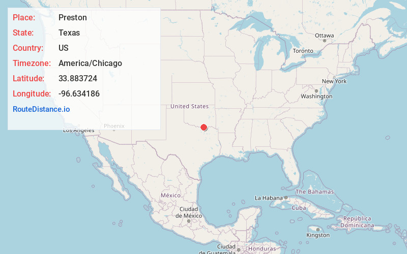
Full AddressPreston, TX 75076
-
Coordinates33.883724, -96.634186
-
LocationPreston , Texas , US
-
TimezoneAmerica/Chicago
-
Current Local Time4:40:10 AM America/ChicagoWednesday, June 18, 2025
-
Page Views0
About Preston
Preston, also known as Preston Bend, is an unincorporated community and census-designated place located on the Red River in Grayson County, Texas, United States. It grew in the 19th century at the intersection of several military and trade roads and was an important crossing on the Shawnee cattle trail.


Nearby Places
Found 10 places within 50 miles

Pottsboro
8.8 mi
14.2 km
Pottsboro, TX
Get directions

Denison
10.5 mi
16.9 km
Denison, TX
Get directions

Calera
12.3 mi
19.8 km
Calera, OK 74730
Get directions

Durant
15.5 mi
24.9 km
Durant, OK
Get directions

Madill
16.3 mi
26.2 km
Madill, OK 73446
Get directions

Sherman
17.2 mi
27.7 km
Sherman, TX
Get directions

Whitesboro
22.2 mi
35.7 km
Whitesboro, TX 76273
Get directions

Tishomingo
24.5 mi
39.4 km
Tishomingo, OK 73460
Get directions

Howe
25.9 mi
41.7 km
Howe, TX
Get directions

Marietta
27.9 mi
44.9 km
Marietta, OK 73448
Get directions
Location Links
Local Weather
Weather Information
Coming soon!
Location Map
Static map view of Preston, Texas
Browse Places by Distance
Places within specific distances from Preston
Short Distances
Long Distances
Click any distance to see all places within that range from Preston. Distances shown in miles (1 mile ≈ 1.61 kilometers).