Distance to Pottsboro, Texas
Location Information
-
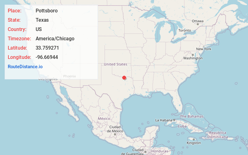
Full AddressPottsboro, TX
-
Coordinates33.759271, -96.6694402
-
LocationPottsboro , Texas , US
-
TimezoneAmerica/Chicago
-
Current Local Time6:28:19 PM America/ChicagoThursday, May 15, 2025
-
Page Views0
About Pottsboro
Pottsboro is a town in Grayson County, Texas, United States. Its population was 2,488 at the 2020 census, up from 2,160 at the 2010 census. It is part of the Sherman–Denison metropolitan statistical area.


Nearby Places
Found 10 places within 50 miles

Denison
7.6 mi
12.2 km
Denison, TX
Get directions

Sherman
9.2 mi
14.8 km
Sherman, TX
Get directions

Whitesboro
15.4 mi
24.8 km
Whitesboro, TX 76273
Get directions

Howe
17.6 mi
28.3 km
Howe, TX
Get directions

Calera
18.4 mi
29.6 km
Calera, OK 74730
Get directions

Durant
22.4 mi
36.0 km
Durant, OK
Get directions

Madill
23.6 mi
38.0 km
Madill, OK 73446
Get directions

Lake Kiowa
23.7 mi
38.1 km
Lake Kiowa, TX 76240
Get directions

Van Alstyne
23.9 mi
38.5 km
Van Alstyne, TX
Get directions

Gainesville
28.2 mi
45.4 km
Gainesville, TX 76240
Get directions
Location Links
Local Weather
Weather Information
Coming soon!
Location Map
Static map view of Pottsboro, Texas
Browse Places by Distance
Places within specific distances from Pottsboro
Short Distances
Long Distances
Click any distance to see all places within that range from Pottsboro. Distances shown in miles (1 mile ≈ 1.61 kilometers).