Distance to Mannsville, Oklahoma

Calculating Your Route
Just a moment while we process your request...
Location Information
-
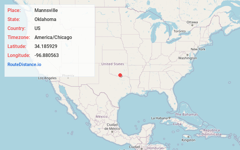
Full AddressMannsville, OK 73447
-
Coordinates34.1859285, -96.8805632
-
LocationMannsville , Oklahoma , US
-
TimezoneAmerica/Chicago
-
Current Local Time1:29:40 AM America/ChicagoSunday, June 22, 2025
-
Page Views0
About Mannsville
Mannsville is a town in Johnston County, Oklahoma, United States. The population was 728 as of the 2020 Census. The locale is old enough to appear on a 1911 Rand McNally map of the county.
Nearby Places
Found 10 places within 50 miles

Dickson
6.0 mi
9.7 km
Dickson, OK 73401
Get directions

Oakland
7.7 mi
12.4 km
Oakland, OK 73446
Get directions

Madill
9.1 mi
14.6 km
Madill, OK 73446
Get directions

Tishomingo
12.1 mi
19.5 km
Tishomingo, OK 73460
Get directions

Ardmore
15.1 mi
24.3 km
Ardmore, OK
Get directions

Kingston
15.9 mi
25.6 km
Kingston, OK 73439
Get directions

Lone Grove
21.9 mi
35.2 km
Lone Grove, OK
Get directions

Marietta
21.9 mi
35.2 km
Marietta, OK 73448
Get directions

Sulphur
22.8 mi
36.7 km
Sulphur, OK 73086
Get directions

Preston
25.2 mi
40.6 km
Preston, TX 75076
Get directions
Location Links
Local Weather
Weather Information
Coming soon!
Location Map
Static map view of Mannsville, Oklahoma
Browse Places by Distance
Places within specific distances from Mannsville
Short Distances
Long Distances
Click any distance to see all places within that range from Mannsville. Distances shown in miles (1 mile ≈ 1.61 kilometers).