Distance to Coleman, Oklahoma

Calculating Your Route
Just a moment while we process your request...
Location Information
-
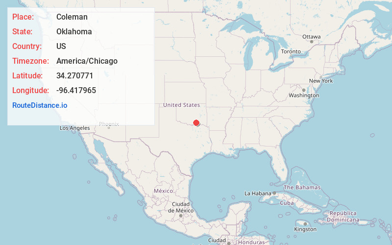
Full AddressColeman, OK
-
Coordinates34.2707706, -96.4179654
-
LocationColeman , Oklahoma , US
-
TimezoneAmerica/Chicago
-
Current Local Time3:50:06 AM America/ChicagoSunday, June 22, 2025
-
Page Views0
About Coleman
Coleman is a small unincorporated community and census-designated place in Johnston County, Oklahoma, United States. The town was previously known as Ego, which was the name assigned to the post office when it was established in 1895.
Nearby Places
Found 10 places within 50 miles

Wapanucka
7.1 mi
11.4 km
Wapanucka, OK 73461
Get directions

Caney
11.9 mi
19.2 km
Caney, OK
Get directions

Caddo
13.3 mi
21.4 km
Caddo, OK 74729
Get directions

Tushka
14.7 mi
23.7 km
Tushka, OK 74525
Get directions

Tishomingo
15.1 mi
24.3 km
Tishomingo, OK 73460
Get directions
Silo
16.2 mi
26.1 km
Silo, OK 74701
Get directions
Cumberland
17.6 mi
28.3 km
Cumberland, OK 73446
Get directions

Atoka
18.3 mi
29.5 km
Atoka, OK 74525
Get directions

Ravia
19.1 mi
30.7 km
Ravia, OK
Get directions

Durant
19.3 mi
31.1 km
Durant, OK
Get directions
Location Links
Local Weather
Weather Information
Coming soon!
Location Map
Static map view of Coleman, Oklahoma
Browse Places by Distance
Places within specific distances from Coleman
Short Distances
Long Distances
Click any distance to see all places within that range from Coleman. Distances shown in miles (1 mile ≈ 1.61 kilometers).