Distance to Tupelo, Oklahoma

Calculating Your Route
Just a moment while we process your request...
Location Information
-
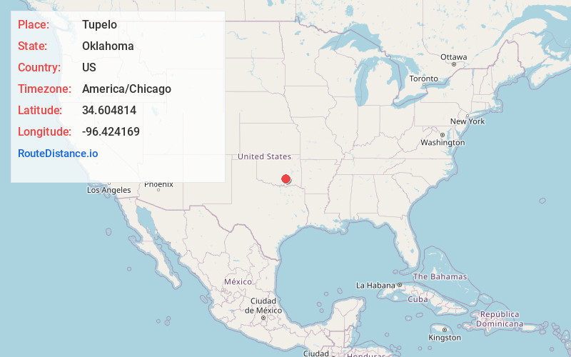
Full AddressTupelo, OK 74572
-
Coordinates34.6048136, -96.4241692
-
LocationTupelo , Oklahoma , US
-
TimezoneAmerica/Chicago
-
Current Local Time12:39:10 AM America/ChicagoThursday, June 19, 2025
-
Page Views0
About Tupelo
Tupelo is a city in Coal County, Oklahoma, United States. The population was 329 at the 2010 census.
Nearby Places
Found 10 places within 50 miles

Stonewall
6.7 mi
10.8 km
Stonewall, OK 74871
Get directions

Coalgate
12.6 mi
20.3 km
Coalgate, OK 74538
Get directions

Wapanucka
15.9 mi
25.6 km
Wapanucka, OK 73461
Get directions

Ada
18.6 mi
29.9 km
Ada, OK
Get directions

Allen
19.0 mi
30.6 km
Allen, OK 74825
Get directions

Byng
22.4 mi
36.0 km
Byng, OK 74820
Get directions

Atoka
22.6 mi
36.4 km
Atoka, OK 74525
Get directions

Stringtown
23.2 mi
37.3 km
Stringtown, OK
Get directions
Pickett
23.4 mi
37.7 km
Pickett, OK 74820
Get directions

Roff
23.7 mi
38.1 km
Roff, OK 74865
Get directions
Location Links
Local Weather
Weather Information
Coming soon!
Location Map
Static map view of Tupelo, Oklahoma
Browse Places by Distance
Places within specific distances from Tupelo
Short Distances
Long Distances
Click any distance to see all places within that range from Tupelo. Distances shown in miles (1 mile ≈ 1.61 kilometers).