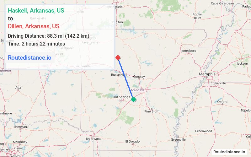
Distance from Haskell, Arkansas to Dillen, Arkansas
The driving distance from Haskell, Arkansas to Dillen, Arkansas is 140.7 mi (226.4 km)
The straight-line (air) distance is approximately 54.9 mi (88.4 km)
Estimated travel time by road is 2 hours 16 minutes
We found 3 routes between Haskell and Dillen.
Available Routes
Route Directions
Get on I-30 E in Benton
Take I-40 W to E Aspen Ln in Russellville. Take exit 81 from I-40 W
Take AR 7 N to AR-123 S in Johnson County
Route Directions
Take US-70 W and AR 7 N to AR-123 S in Johnson County
Route Directions
Take AR-5, AR-9 N, I-40 W and AR 7 N to AR-123 S in Johnson County
Journey Details
Traveling from Haskell, Arkansas to Dillen, Arkansas covers 133.2 miles (214 km) in a northwest direction. This mixed highways and local roads, substantial route typically takes 2 hours 32 minutes under normal conditions.
Drivers have 3 route options between these locations (133-141 miles / 214-226 km). The primary route shown here saves 19 minutes compared to alternatives.
Journey Waypoints
Haskell
Starting Point
Dillen
Destination
Route Map Image