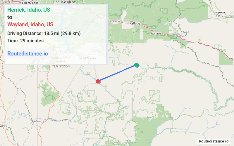
Distance from Herrick, Idaho to Wayland, Idaho
The driving distance from Herrick, Idaho to Wayland, Idaho is 44.1 mi (71 km)
The straight-line (air) distance is approximately 11.5 mi (18.5 km)
Estimated travel time by road is 1 hour 12 minutes
We found 2 routes between Herrick and Wayland.
Available Routes
Route Directions
Follow N Side Rd to NF-50/St Joe River Rd
Follow St Joe River Rd and State Hwy 3 S to River Way in Benewah County
Continue on River Way. Drive to Bigelow Mill Rd
Route Directions
Follow N Side Rd to NF-50/St Joe River Rd
Take Sly Meadows Rd and Blackwell Hump Dv Rd/Pettis Peak Rd to State Hwy 3 S
Continue on River Way. Drive to Bigelow Mill Rd
Journey Details
Traveling from Herrick, Idaho to Wayland, Idaho covers 37 miles (60 km) in a west direction. This local streets, moderate route typically takes 1 hour 28 minutes under normal conditions.
Drivers have 2 route options between these locations (37-44 miles / 60-71 km). The primary route shown here saves no time compared to alternatives.
The route features scenic views, mountain passes, urban congestion. During midday weekday travel, expect lighter midday traffic with average speeds around 24 mph (39 km/h) .
Journey Waypoints
Herrick
Starting Point
Wayland
Destination
Route Map Image