Distance to Santa, Idaho

Calculating Your Route
Just a moment while we process your request...
Location Information
-
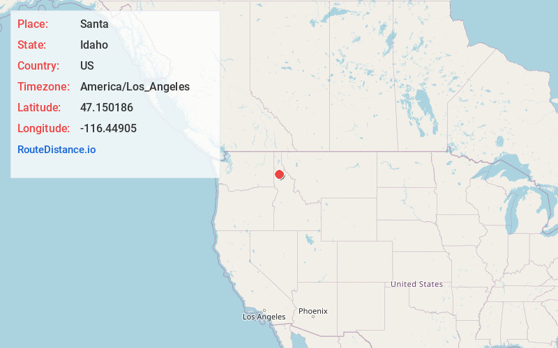
Full AddressSanta, ID 83861
-
Coordinates47.150186, -116.4490503
-
LocationSanta , Idaho , US
-
TimezoneAmerica/Los_Angeles
-
Current Local Time9:51:47 AM America/Los_AngelesSaturday, May 31, 2025
-
Page Views0
About Santa
Santa is an unincorporated community in Benewah County, Idaho, United States. Santa is located on Idaho State Highway 3 13 miles south-southeast of St. Maries. Santa has a post office with ZIP code 83866.


Nearby Places
Found 10 places within 50 miles

Renfrew
0.7 mi
1.1 km
Renfrew, ID 83861
Get directions
Wayland
1.6 mi
2.6 km
Wayland, ID 83861
Get directions

Fernwood
3.7 mi
6.0 km
Fernwood, ID 83830
Get directions
Emida
7.4 mi
11.9 km
Emida, ID 83861
Get directions
Emerald Creek
7.8 mi
12.6 km
Emerald Creek, ID 83830
Get directions
Alder Creek
9.0 mi
14.5 km
Alder Creek, ID 83861
Get directions

St Maries
12.5 mi
20.1 km
St Maries, ID 83861
Get directions
Omega
12.8 mi
20.6 km
Omega, ID 83861
Get directions
Clarkia
13.4 mi
21.6 km
Clarkia, ID 83812
Get directions
Calder
15.0 mi
24.1 km
Calder, ID 83808
Get directions
Location Links
Local Weather
Weather Information
Coming soon!
Location Map
Static map view of Santa, Idaho
Browse Places by Distance
Places within specific distances from Santa
Short Distances
Long Distances
Click any distance to see all places within that range from Santa. Distances shown in miles (1 mile ≈ 1.61 kilometers).