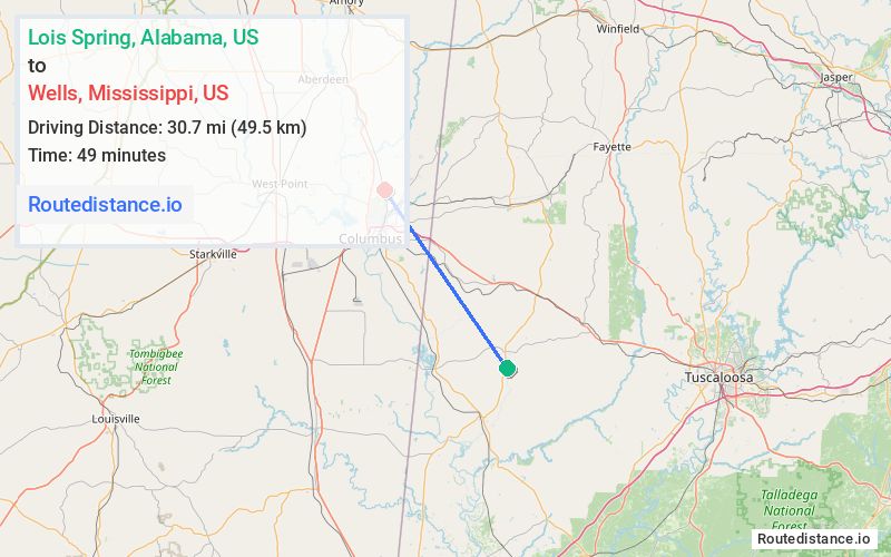
Distance from Lois Spring, Alabama to Wells, Mississippi
The driving distance from Lois Spring, Alabama to Wells, Mississippi is 40.2 mi (64.7 km)
The straight-line (air) distance is approximately 19.1 mi (30.7 km)
Estimated travel time by road is 48 minutes
We found 2 routes between Lois Spring and Wells.
Available Routes
Route Directions
Take Pine Grove Rd, Pickens County 75, Co Rd 30 and US-82 W to Ridge Rd in Lowndes County
Route Directions
Follow AL-17 N/Commerce Ave to Phoenix Ave in Carrollton
Follow Phoenix Ave to US-82 W
Follow US-82 W to Military Rd in Columbus. Take the Military Road exit from US-82 W
Drive to Ridge Rd
Journey Details
Traveling from Lois Spring, Alabama to Wells, Mississippi covers 37.9 miles (61 km) in a northwest direction. This mixed highways and local roads, moderate route typically takes 43 minutes under normal conditions.
Drivers have 2 route options between these locations (38-40 miles / 61-65 km). The primary route shown here saves 6 minutes compared to alternatives.
The route features scenic views. During morning weekday travel, expect morning rush hour with average speeds around 53 mph (85 km/h) .
Journey Waypoints
Lois Spring
Starting Point
Wells
Destination
Route Map Image