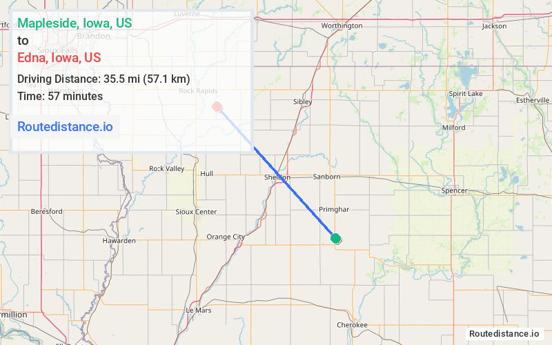
Distance from Mapleside, Iowa to Edna, Iowa
The driving distance from Mapleside, Iowa to Edna, Iowa is 51 mi (82 km)
The straight-line (air) distance is approximately 22.1 mi (35.5 km)
Estimated travel time by road is 57 minutes
We found 3 routes between Mapleside and Edna.
Available Routes
Route Directions
Take US-59 N/Silver Ave, Redwing Ave, Oak Hill Ave and 210th St to Indian Ave in Lyon County
Follow Indian Ave to Madison Ave
Route Directions
Follow US-59 N, 240th St and 210th St to Indian Ave in Lyon County
Follow Indian Ave to Madison Ave
Route Directions
Take US-59 N/Silver Ave and Redwing Ave to Pierce Ave
Take 210th St to Indian Ave in Lyon County
Follow Indian Ave to Madison Ave
Journey Details
Traveling from Mapleside, Iowa to Edna, Iowa covers 51 miles (82 km) in a northwest direction. This mixed highways and local roads, moderate route typically takes 57 minutes under normal conditions.
Drivers have 3 route options between these locations (51-51 miles / 82-82 km). The primary route shown here saves 27 seconds compared to alternatives.
Journey Waypoints
Mapleside
Starting Point
Edna
Destination
Route Map Image