Distance to Edna, Iowa

Calculating Your Route
Just a moment while we process your request...
Location Information
-
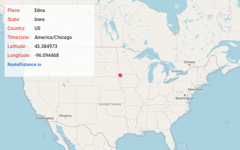
Full AddressEdna, IA 51246
-
Coordinates43.384973, -96.0944681
-
LocationEdna , Iowa , US
-
TimezoneAmerica/Chicago
-
Current Local Time7:10:46 AM America/ChicagoThursday, July 3, 2025
-
Page Views0
About Edna
Edna is an unincorporated town in Liberal Township, Lyon County, Iowa, United States.
Edna is located on the western border of Liberal Township in Lyon County. It is located 6 miles southeast of Rock Rapids, the county seat.
Nearby Places
Found 10 places within 50 miles

Rock Rapids
5.0 mi
8.0 km
Rock Rapids, IA 51246
Get directions

George
5.4 mi
8.7 km
George, IA 51237
Get directions

Ellsworth
10.0 mi
16.1 km
Ellsworth, MN 56129
Get directions

Doon
10.1 mi
16.3 km
Doon, IA 51235
Get directions
Alvord
10.9 mi
17.5 km
Alvord, IA 51230
Get directions
Little Rock
11.4 mi
18.3 km
Little Rock, IA 51243
Get directions

Steen
12.3 mi
19.8 km
Steen, MN 56173
Get directions
Lester
12.5 mi
20.1 km
Lester, IA 51242
Get directions
Matlock
12.6 mi
20.3 km
Matlock, IA
Get directions
Hull
13.7 mi
22.0 km
Hull, IA 51239
Get directions
Location Links
Local Weather
Weather Information
Coming soon!
Location Map
Static map view of Edna, Iowa
Browse Places by Distance
Places within specific distances from Edna
Short Distances
Long Distances
Click any distance to see all places within that range from Edna. Distances shown in miles (1 mile ≈ 1.61 kilometers).