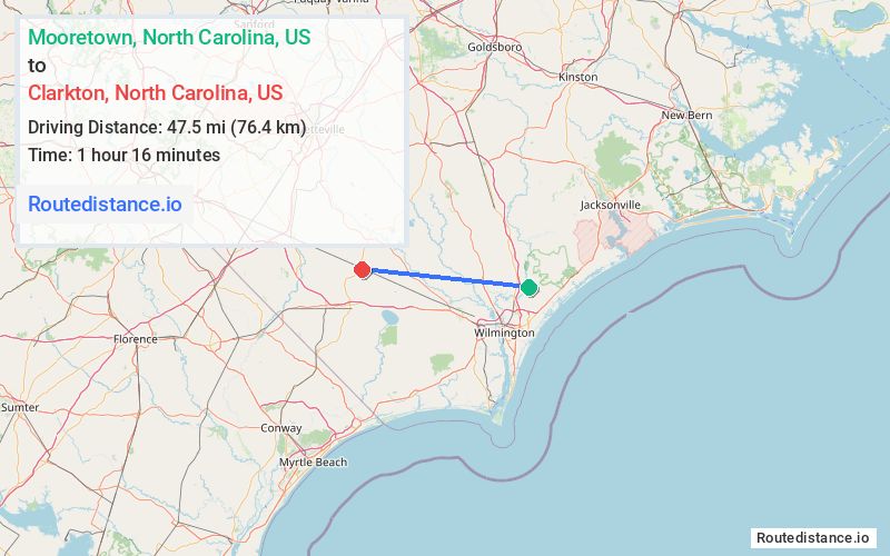
Distance from Mooretown, North Carolina to Clarkton, North Carolina
The driving distance from Mooretown, North Carolina to Clarkton, North Carolina is 66.5 mi (107.1 km)
The straight-line (air) distance is approximately 29.5 mi (47.5 km)
Estimated travel time by road is 1 hour 7 minutes
We found 3 routes between Mooretown and Clarkton.
Available Routes
Route Directions
Get on I-40 E from Moore Town Rd and State Hwy 210 W
Follow I-40 E, I-140 W and US-74 W/US-76 W to NC-211 N in Columbus County. Take exit 258 from US-74 W/US-76 W
Follow NC-211 N to S College St in Clarkton
Route Directions
Take Moore Town Rd to State Hwy 210 W
Follow State Hwy 210 W, NC-53 W and US-701 Hwy S to S College St in Clarkton
Route Directions
Take Moore Town Rd to State Hwy 210 W
Continue on State Hwy 210 W. Take NC-87 N to Baltimore Rd in Bladen County
Continue on Baltimore Rd to NC-211 N
Follow NC-211 N to S College St in Clarkton
Journey Details
Traveling from Mooretown, North Carolina to Clarkton, North Carolina covers 58.1 miles (93 km) in a west direction. This mixed highways and local roads, moderate route typically takes 1 hour 8 minutes under normal conditions.
Drivers have 3 route options between these locations (58-68 miles / 93-110 km). The primary route shown here saves 13 minutes compared to alternatives.
Journey Waypoints
Mooretown
Starting Point
Clarkton
Destination
Route Map Image