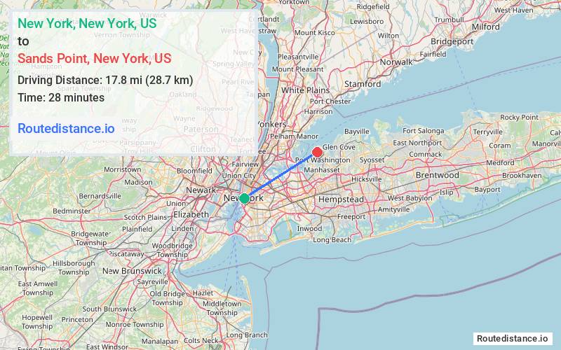
Distance from New York, New York to Sands Point, New York
The driving distance from New York, New York to Sands Point, New York is 28.9 mi (46.5 km)
The straight-line (air) distance is approximately 11.1 mi (17.8 km)
Estimated travel time by road is 51 minutes
We found 3 routes between New York and Sands Point.
Available Routes
Route Directions
Get on Brooklyn Brg from Park Row
Take I-278 E and I-495 E to Nassau Blvd/S Service Rd in North Hills. Take exit 36 from I-495 E
Take Port Washington Blvd and Middle Neck Rd to Tibbits Ln in Sands Point
Route Directions
Get on FDR Dr from Frankfort St
Follow FDR Dr and I-495 to Nassau Blvd/S Service Rd in North Hills. Take exit 36 from I-495
Take Port Washington Blvd and Middle Neck Rd to Tibbits Ln in Sands Point
Route Directions
Get on Brooklyn Brg from Park Row
Take I-278 E, Grand Central Pkwy, I-678 N, Cross Island Pkwy and I-495 E to Nassau Blvd/S Service Rd in North Hills. Take exit 36 from I-495 E
Take Port Washington Blvd and Middle Neck Rd to Tibbits Ln in Sands Point
Journey Details
Traveling from New York, New York to Sands Point, New York covers 28.9 miles (47 km) in a northeast direction. This secondary roads, moderate route typically takes 51 minutes under normal conditions.
Drivers have 3 route options between these locations (29-33 miles / 47-54 km). The primary route shown here saves 5 minutes compared to alternatives.
Journey Waypoints
New York
Starting Point
Sands Point
Destination
Route Map Image