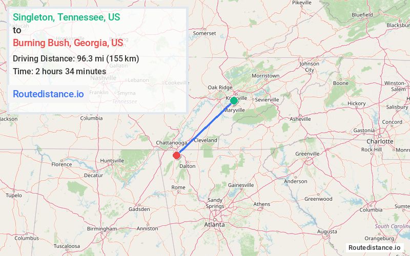
Distance from Singleton, Tennessee to Burning Bush, Georgia
The driving distance from Singleton, Tennessee to Burning Bush, Georgia is 115.1 mi (185.3 km)
The straight-line (air) distance is approximately 59.8 mi (96.3 km)
Estimated travel time by road is 2 hours 8 minutes
We found 3 routes between Singleton and Burning Bush.
Available Routes
Route Directions
Get on I-75 S in Monroe County from US-129 S, US-411 S and TN-322 W
Follow I-75 S to GA-146 W in Fort Oglethorpe. Take exit 353 from I-75 S
Take Dietz Rd to Burning Bush Rd
Route Directions
Get on I-140 W
Follow I-140 W and I-75 S to TN-68 N/New Hwy 68 in Monroe County. Take exit 60 from I-75
Get on US-27 S in Soddy-Daisy from TN-68 N
Continue on US-27 S. Take I-24 E to GA-146 W in Fort Oglethorpe. Take exit 353 from I-75 S
Take Dietz Rd to Burning Bush Rd
Route Directions
Get on I-140 W
Take I-75 S to GA-146 W in Fort Oglethorpe. Take exit 353 from I-75
Take Dietz Rd to Burning Bush Rd
Journey Details
Traveling from Singleton, Tennessee to Burning Bush, Georgia covers 111.2 miles (179 km) in a southwest direction. This highway, substantial route typically takes 1 hour 44 minutes under normal conditions.
Drivers have 3 route options between these locations (111-134 miles / 179-216 km). The primary route shown here saves 39 minutes compared to alternatives.
Journey Waypoints
Singleton
Starting Point
Burning Bush
Destination
Route Map Image