Distance from Wharton State Forest, New Jersey to Wrightstown, New Jersey
The driving distance from Wharton State Forest, New Jersey to Wrightstown, New Jersey is 42 mi (67.6 km)
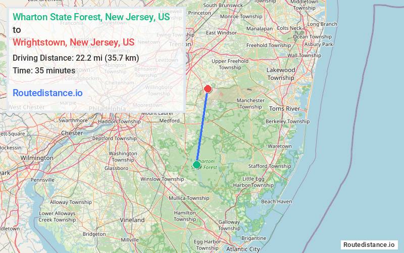
The straight-line (air) distance is approximately 13.8 mi (22.2 km)
Estimated travel time by road is 57 minutes
We found 3 routes between Wharton State Forest and Wrightstown.
Available Routes
Route Directions
Take Washington Turnpike and Batsto Rd to Pleasant Mills Rd
Take County Rd 563 and Magnolia Rd to W Main St in Wrightstown
Route Directions
Take Washington Turnpike and Batsto Rd to Pleasant Mills Rd
Take County Rd 563, Savoy Blvd, Pasadena Rd, County Rd 539 N and Long Swamp Rd to Wrightstown Cookstown Rd in Wrightstown
Route Directions
Take Hammonton Rd, Nesco Rd, Airport Rd/Columbia Rd and Middle Rd to US-206 N/Trenton Rd in Hammonton
Follow US-206 N to Monmouth Rd in Springfield
Follow Monmouth Rd and Saylors Pond Rd to W Main St in Wrightstown
Journey Details
Traveling from Wharton State Forest, New Jersey to Wrightstown, New Jersey covers 40.8 miles (66 km) in a north direction. This mixed highways and local roads, moderate route typically takes 56 minutes under normal conditions.
Drivers have 3 route options between these locations (41-51 miles / 66-82 km). The primary route shown here saves 15 minutes compared to alternatives.
The route features scenic views. During midday weekday travel, expect lighter midday traffic with average speeds around 43 mph (69 km/h) .
Journey Waypoints
Wharton State Forest
Starting Point
Wrightstown
Destination
Route Map Image