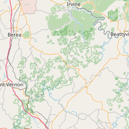
Cities within 30 miles of Royrader
300 places found
Cane Creek
Kentucky
US
37.0427, -84.2586
Sand Springs
Kentucky
US
37.2970, -84.3591
Alumbaugh
Kentucky
US
37.5976, -83.9299
Girdler
Kentucky
US
36.9398, -83.8433
Lower Buffalo
Kentucky
US
37.5279, -83.6877
Arnett
Kentucky
US
37.4104, -83.5685
Brightshade
Kentucky
US
37.0223, -83.6599
Bear Branch
Kentucky
US
37.1634, -83.5488
 22.7 miles
Mt Vernon
Kentucky
US
37.3529, -84.3405
Panco
Kentucky
US
37.2373, -83.5335
Wildie
Kentucky
US
37.4234, -84.3022
Morrill
Kentucky
US
37.5193, -84.1974
Yellow Rock
Kentucky
US
37.5709, -83.8049
22.5 miles
North Corbin
Kentucky
US
36.9606, -84.0933
Squib
Kentucky
US
37.1554, -84.3266
Doorway
Kentucky
US
37.2959, -83.5394
22.3 miles
Hog Wallow Hollow
Kentucky
US
36.9687, -83.7769
22.0 miles
Heidelberg
Kentucky
US
37.5554, -83.7788
Big Creek
Kentucky
US
37.1605, -83.5662
Cowcreek
Kentucky
US
37.4387, -83.6105
Green Rd
Kentucky
US
36.9600, -83.8355
Lucky Fork
Kentucky
US
37.3676, -83.5699
 21.7 miles
Rockcastle County
Kentucky
US
37.3743, -84.3121
 21.6 miles
Keavy
Kentucky
US
37.0040, -84.1611

Leaflet © OpenStreetMap contributors